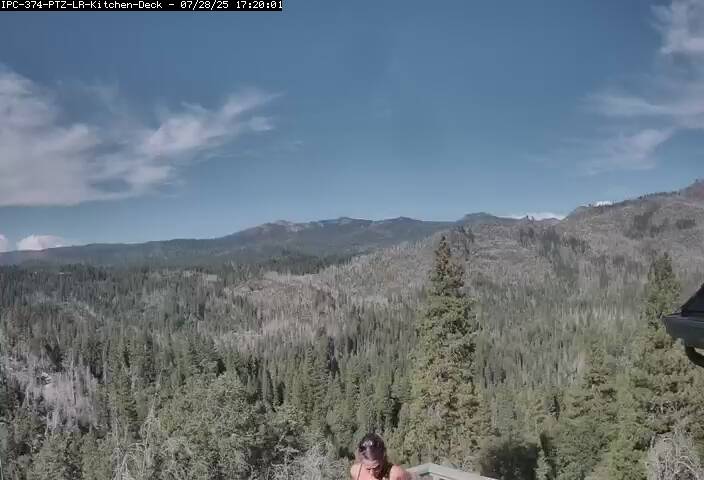
Crane Flat Lookout and Helibase, just north of SR 120, looking NW

Elevation: 6650 ft
|
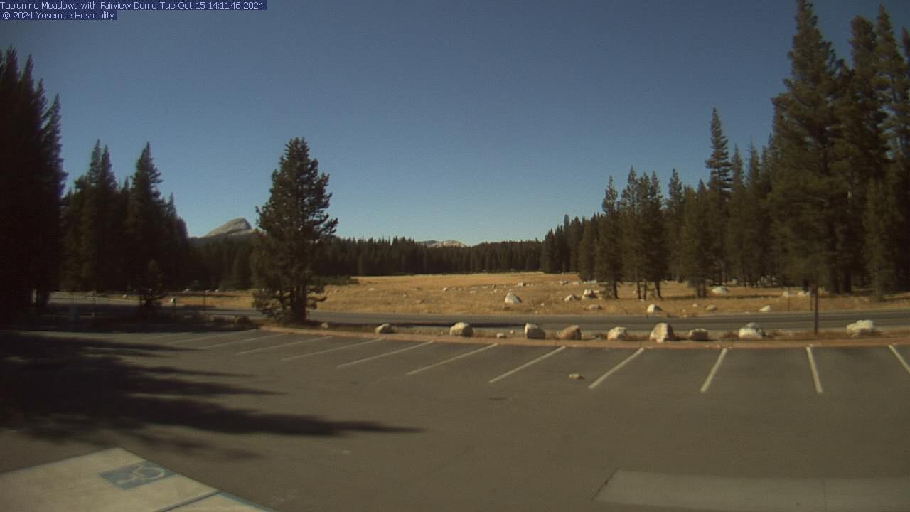
Tuolumne Meadows on SR 120 in Yosemite National Park,
looking north (summer only, roughly June-September)

Elevation: 8600 ft
|
Tioga Pass Entrance on SR 120, looking SE across Dana Meadow, Mt Dana at left
(camera back online as of 11Oct2016 after 7-year outage since 05Dec2009!
click to see current image, only on Google Drive, not web-accessible)

Elevation: 9900 ft (link to images on Google Drive)
|
Lee Vining WebCam, looking NE from near junction
of US 395 & SR 120, 10 miles east of Yosemite National Park

Elevation: 6800 ft
|
Mono Lake WebCam, looking east from Mono Basin
Visitor Center on US 395, 10 miles east of Yosemite National Park

Elevation: 6700 ft
|
Mono Lake Mill Creek WebCam, looking SE from junction
of US 395 & SR 167, 10 miles east of Yosemite National Park

Elevation: 6900 ft
|
Mono Lake Dust Cam, on NE shore of Mono Lake,
looking WSW towards Yosemite National Park about 20 miles away

Elevation: 6450 ft
|
Southern Yosemite National Park and Vicinity, Bass Lake, SR 140, SR 49, and SR 41 Corridors
|
Don Pedro Lake, looking NE from Don Pedro Dam on the Tuolumne River,
north of SR 132, 31 miles west of Yosemite National Park
(historic Visitor Center building and webcam destroyed by fire on 25May2016 !!!)

Elevation: 900 ft
|
Moccasin Ranch Cam, on Penon Blanco Ridge, 2.5 miles east of Don Pedro Lake,
2 miles west of SR 49, 24 miles west of Yosemite National Park, looking west

Elevation: 2300 ft
|
Caltrans camera on SR 140 in Midpines,
16 miles WNW of Yosemite National Park south entrance

Elevation: 2240 ft
|
Caltrans camera on SR 140 in Mariposa,
18 miles west of Yosemite National Park south entrance

Elevation: 2100 ft
|
Knarly Oaks Cam on SR 49, 7 miles east of Mariposa,
13 miles WSW of Yosemite Park south entrance, looking north

Elevation: 2500 ft
|
Knarly Oaks River House Cam, north of SR 49, 13 miles east of Mariposa,
6 miles WSW of Yosemite National Park south entrance, looking south

Elevation: 3100 ft
|
Big Creek Inn, in Fish Camp on SR 41,
2 miles south of Yosemite National Park south entrance

Elevation: 5000 ft
|
Logger's Retreat Webcam, in Fish Camp on SR 41,
4 miles south of Yosemite National Park south entrance

Elevation: 5000 ft
|
Caltrans camera at junction of SR 41 & SR 49 in Oakhurst,
12 miles south of Yosemite National Park south entrance

Elevation: 2270 ft
|
SierraTel Deadwood camera on SR 41 south of Oakhurst,
15 miles south of Yosemite National Park south entrance

Elevation: 3000 ft
|
Bass Lake, east of Oakhurst and SR 41,
13 miles SSE of Yosemite National Park south entrance

Elevation: 3380 ft
|
Bass Lake, east of Oakhurst and SR 41,
13 miles SSE of Yosemite National Park south entrance

Elevation: 3380 ft
|
Miller's Landing Resort, south end of Bass Lake,
15 miles SSE of Yosemite National Park south entrance

Elevation: 3380 ft
|
Rocking L Ranch, 4 miles south of Bass Lake,
18 miles south of Yosemite Park south entrance, looking north

Elevation: 3100 ft
|
Peckinpah Ridge looking north from Cascadel Heights, North Fork,
21 miles SSE of Yosemite National Park south entrance

Elevation: 3900 ft
|
| Show telemetry | Hide telemetry |
|
| Page History: |
|
| March 2013 | Original version with 22 camera views,
designed based on the Lassen Peak WebCams webpage,
with cameras from the Sierra Nevada Mountain WebCams webpage
Includes the option to show the last 24 hours of data from
several California Cooperative Snow Surveys hourly telemetry sites in and near Yosemite National Park below the webcams
Revised the page layout to use separate tables for each row, to better accommodate the different widths of images
Later added the ability to remove unwanted columns from any of the California Cooperative Snow Surveys telemetry data
Added the nearby Virginia Lakes Ridge SNOTEL site, along with the capability to use a mix of CCSS and SNOTEL sites within the telemetry section
|
| September 2013 | Expanded to 23 camera views, adding the Crane Flat cam, and fixed one camera link which had changed |
| November 2013 | Improved error checking for missing California Cooperative Snow Surveys telemetry data files,
and removed some new water-info data columns from the Tuolumne Meadows CCSS site |
| December 2013 |
Fixed the Tuolumne Meadows CCSS site telemetry data, which had changed format again with an extra column that broke the data extraction script |
| March 2014 |
Added an option to disable the NPS Air Quality Webcam (by appending "&aq=off" to the URL) if this page is not loading properly,
as server issues on that website are often the cause of such problems
|
| October 2014 | Expanded to 24 camera views, adding the Fish Camp webcam |
| December 2014 | Added image modification time for the Yosemite West webcam |
| February 2015 | Improved display when California Cooperative Snow Surveys telemetry data is offline |
| September 2015 | Fixed 2 Caltrans camera links which had changed |
| December 2015 | Added the Lower Kibbie Ridge, Paradise Meadow, Horse Meadow, and Slide Canyon CCSS sites in the northern part of the park |
| January 2016 |
Expanded to 33 camera views in 5 rows, adding Don Pedro Lake, 2 cams along SR 41, 2 along SR 49, and 5 near Bass Lake east of Oakhurst,
while removing the long-defunct Yosemite West cam
Rearranged the images and rows substantially into a more logical and geographic order
Added the Mariposa Grove, Big Sandy, Fresno Dome, Poison Ridge, and Chilkoot Meadow CCSS sites located in and near the southernmost part of the park, along with the
Crane Flat Lookout site on the west side of the park which has precip, wind, solar, and other sensors (but not snowdepth),
for a grand total of telemetry sites
Added a script from the Donner Summit WebCams page
to convert the Poison Ridge and Chilkoot Meadow sites' quarter-hourly precip "event" data into an hourly data column
(it's unclear why the CDEC website can't simply copy the "event" data into the hourly data, it does so for some sites already but not others)
Later wrote a new external script to grab data from CDEC (such as the
California Cooperative Snow Surveys telemetry sites), which downloads the data and formats it to match the style of the SNOTEL data, the script makes maintenance of these
pages much easier by moving all CDEC telemetry code into a single location instead of separate code on each individual California Mountain WebCams page
|
| February 2016 |
Expanded to 34 camera views, adding a new cam at Moccasin Ranch east of Don Pedro Lake
Major internal PHP code cleanup, updating and/or deleting legacy code left over from very long ago, from the
Mount Rainier Paradise WebCams webpage (March 2009) on which all of these "Webcams + Telemetry Pages" are based,
and even from the original Washington Mountain WebCams webpage (December 2004) on which the Rainier page was based
Reduced image sizes slightly from 360-270-180 to 320-240-160 pixels high for large-medium-small options
|
| March 2016 |
Changed the data source for the Crane Flat Lookout and White Wolf RAWS telemetry sites to MesoWest
instead of CDEC, as the CDEC data for those sites had become badly mangled with mixed up data columns and other severe issues, and removed the Gem Pass CDEC site which is
also shown on the Mammoth Mountain WebCams webpage
Added 6 more RAWS hourly telemetry sites in and near Yosemite National Park
which have precip, wind, solar, and other sensors (but not snowdepth), along with 2 other useful telemetry sites at Turtleback Dome and Happy Isles,
all with data available from MesoWest, and also a CDEC precip site in Yosemite Valley
Added descriptive dividers between major subregions of the webcam images and of the telemetry sites, to clarify the layout of this fairly large and complex page,
and rearranged the first 3 rows of webcam images (northern part) into more logical geographic order
Fixed all Weather Underground camera URLs, which now apparently need "?time()" appended in order to update properly
|
| April 2016 | Fixed the Mono Lake Dust Cam URL which had changed |
| December 2016 |
Expanded to 35 camera views, adding the new summer-only Tuolumne Meadows webcam,
and fixed some camera URLs which had changed
|
|
|


