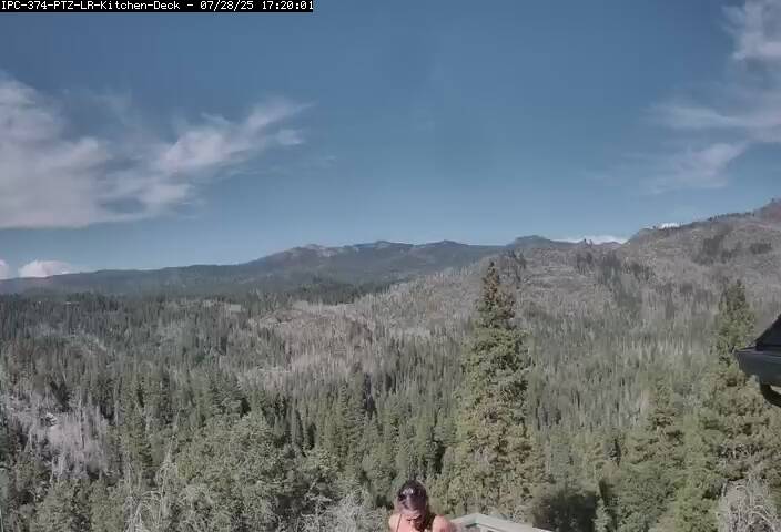
Crane Flat Lookout and Helibase, just north of SR 120, looking NW

Elevation: 6650 ft
|
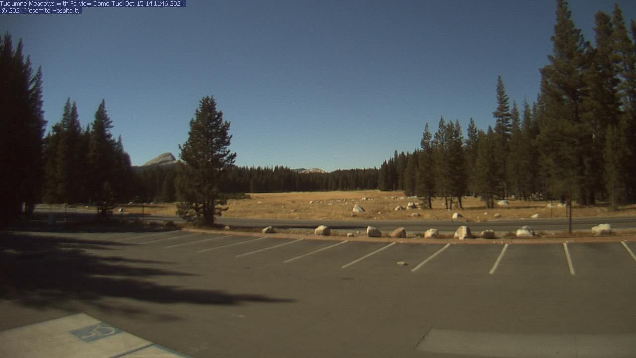
Tuolumne Meadows on SR 120 in Yosemite National Park,
looking north (summer only, roughly June-September)

Elevation: 8600 ft
|
Tioga Pass Entrance on SR 120, looking SE across Dana Meadow, Mt Dana at left
(camera back online as of 11Oct2016 after 7-year outage since 05Dec2009!
click to see current image, only on Google Drive, not web-accessible)

Elevation: 9900 ft (link to images on Google Drive)
|
Lee Vining WebCam, looking NE from near junction
of US 395 & SR 120, 10 miles east of Yosemite National Park

Elevation: 6800 ft
|
Mono Lake WebCam, looking east from Mono Basin
Visitor Center on US 395, 10 miles east of Yosemite National Park

Elevation: 6700 ft
|
Mono Lake Mill Creek WebCam, looking SE from junction
of US 395 & SR 167, 10 miles east of Yosemite National Park

Elevation: 6900 ft
|
Mono Lake Dust Cam, on NE shore of Mono Lake,
looking WSW towards Yosemite National Park about 20 miles away

Elevation: 6450 ft
|
Southern Yosemite National Park and Vicinity, Bass Lake, SR 140, SR 49, and SR 41 Corridors
|
Don Pedro Lake, looking NE from Don Pedro Dam on the Tuolumne River,
north of SR 132, 31 miles west of Yosemite National Park
(historic Visitor Center building and webcam destroyed by fire on 25May2016 !!!)

Elevation: 900 ft
|
Moccasin Ranch Cam, on Penon Blanco Ridge, 2.5 miles east of Don Pedro Lake,
2 miles west of SR 49, 24 miles west of Yosemite National Park, looking west

Elevation: 2300 ft
|
Caltrans camera on SR 140 in Midpines,
16 miles WNW of Yosemite National Park south entrance

Elevation: 2240 ft
|
Caltrans camera on SR 140 in Mariposa,
18 miles west of Yosemite National Park south entrance

Elevation: 2100 ft
|
Knarly Oaks Cam on SR 49, 7 miles east of Mariposa,
13 miles WSW of Yosemite Park south entrance, looking north

Elevation: 2500 ft
|
Knarly Oaks River House Cam, north of SR 49, 13 miles east of Mariposa,
6 miles WSW of Yosemite National Park south entrance, looking south

Elevation: 3100 ft
|
Big Creek Inn, in Fish Camp on SR 41,
2 miles south of Yosemite National Park south entrance

Elevation: 5000 ft
|
Logger's Retreat Webcam, in Fish Camp on SR 41,
4 miles south of Yosemite National Park south entrance

Elevation: 5000 ft
|
Caltrans camera at junction of SR 41 & SR 49 in Oakhurst,
12 miles south of Yosemite National Park south entrance

Elevation: 2270 ft
|
SierraTel Deadwood camera on SR 41 south of Oakhurst,
15 miles south of Yosemite National Park south entrance

Elevation: 3000 ft
|
Bass Lake, east of Oakhurst and SR 41,
13 miles SSE of Yosemite National Park south entrance

Elevation: 3380 ft
|
Bass Lake, east of Oakhurst and SR 41,
13 miles SSE of Yosemite National Park south entrance

Elevation: 3380 ft
|
Miller's Landing Resort, south end of Bass Lake,
15 miles SSE of Yosemite National Park south entrance

Elevation: 3380 ft
|
Rocking L Ranch, 4 miles south of Bass Lake,
18 miles south of Yosemite Park south entrance, looking north

Elevation: 3100 ft
|
| | |


