Blackcomb Mountain
|
Blackcomb Mtn, 7th Heaven Cam,
looking SSW down 7th Heaven Express

Elevation: 2240 m / 7350 ft
|
Blackcomb Mtn, Horstman Hut,
looking north down Horstman Glacier

Elevation: 2250 m / 7380 ft
|
Blackcomb Mtn Rendezvous, looking NW at part of Solar Coaster Express
with Mt Cayley and Powder Mtn in the distance

Elevation: 1860 m / 6100 ft
|
Blackcomb Mtn Rendezvous, looking NNW at the top of Wishbone
with Rainbow Mtn in the distance and Green Lake in the valley

Elevation: 1860 m / 6100 ft
|
Blackcomb Mtn Rendezvous, looking north towards Glacier Creek Lodge
with Ipsoot Mtn in the distance

Elevation: 1860 m / 6100 ft
|
Blackcomb Mtn Rendezvous, looking NE towards Glacier Creek Lodge
with Mt Currie in the distance

Elevation: 1860 m / 6100 ft
|
Blackcomb Mtn Rendezvous, looking east at Jersey Cream Express

Elevation: 1860 m / 6100 ft
|
Blackcomb Mtn Rendezvous, looking SE
at Jersey Cream Express, Couloir Extreme, and Peak 2 Peak Gondola

Elevation: 1860 m / 6100 ft
|
Blackcomb Mtn, Horstman Glacier, looking SE

Elevation: 2140 m / 7000 ft
|
Blackcomb Mtn, Horstman Glacier, looking south

Elevation: 2140 m / 7000 ft
|
Blackcomb Mtn, Horstman Glacier, looking SW

Elevation: 2140 m / 7000 ft
|
Blackcomb Mtn, Horstman Glacier, looking west

Elevation: 2140 m / 7000 ft
|
Blackcomb Mtn, Horstman Glacier, looking NW

Elevation: 2140 m / 7000 ft
|
Blackcomb Mtn, Horstman Glacier, looking NE

Elevation: 2140 m / 7000 ft
|
Blackcomb Mtn, Horstman Glacier, looking west

Elevation: 2140 m / 7000 ft
|
Blackcomb Mtn, Horstman Glacier, looking north

Elevation: 2140 m / 7000 ft
|
Whistler Village Gate, Hwy 99,
in Whistler at Village Gate Blvd, looking north

Elevation: 670 m / 2200 ft
|
Whistler Village Gate, Hwy 99,
in Whistler at Village Gate Blvd, looking east

Elevation: 670 m / 2200 ft
|
Whistler Village Gate, Hwy 99,
in Whistler at Village Gate Blvd, looking south

Elevation: 670 m / 2200 ft
|
Whistler, Lost Lake PassivHaus, looking south

Elevation: 670 m / 2200 ft
|
Whistler Golf Course, Clubhouse, 1st Hole

Elevation: 670 m / 2200 ft
|
Whistler Golf Course, Crabapple Hut,
9th Hole, looking SE at Blackcomb

Elevation: 670 m / 2200 ft
|
Whistler Golf Course, The Academy

Elevation: 670 m / 2200 ft
|
Whistler Weather Cam, Hwy 99,
near Whistler, looking NW at Rainbow Mtn

Elevation: 670 m / 2200 ft
|
Whistler Weather Cam, Whistler Creek on Hwy 99,
3 km (2 miles) south of Whistler, looking west

Elevation: 670 m / 2200 ft
|
Sea to Sky Highway 99, South of Whistler
|
Function Junction, Hwy 99 at Cheakamus & Alpha Lake Rd,
5 km (3 miles) south of Whistler, looking north

Elevation: 600 m / 2000 ft
|
Function Junction, Hwy 99 at Cheakamus & Alpha Lake Rd,
5 km (3 miles) south of Whistler, looking east

Elevation: 600 m / 2000 ft
|
Function Junction, Hwy 99 at Cheakamus & Alpha Lake Rd,
5 km (3 miles) south of Whistler, looking south

Elevation: 600 m / 2000 ft
|
Function Junction, Hwy 99 at Cheakamus & Alpha Lake Rd,
5 km (3 miles) south of Whistler, looking west

Elevation: 600 m / 2000 ft
|
Whistler Olympic Park, in Callaghan Valley NW of Hwy 99,
11 km (7 miles) west of Whistler, looking north

Elevation: 850 m / 2800 ft
|
Whistler Olympic Park, in Callaghan Valley NW of Hwy 99,
11 km (7 miles) west of Whistler, looking south

Elevation: 850 m / 2800 ft
|
Whistler Olympic Park, in Callaghan Valley NW of Hwy 99,
11 km (7 miles) west of Whistler, looking west

Elevation: 850 m / 2800 ft
|
Whistler MSC Radar Site WeatherCam,
10 km (6 miles) SW of Whistler on Hwy 99, looking north
Elevation: 560 m / 1850 ft
|
Whistler MSC Radar Site WeatherCam,
10 km (6 miles) SW of Whistler on Hwy 99, looking NE
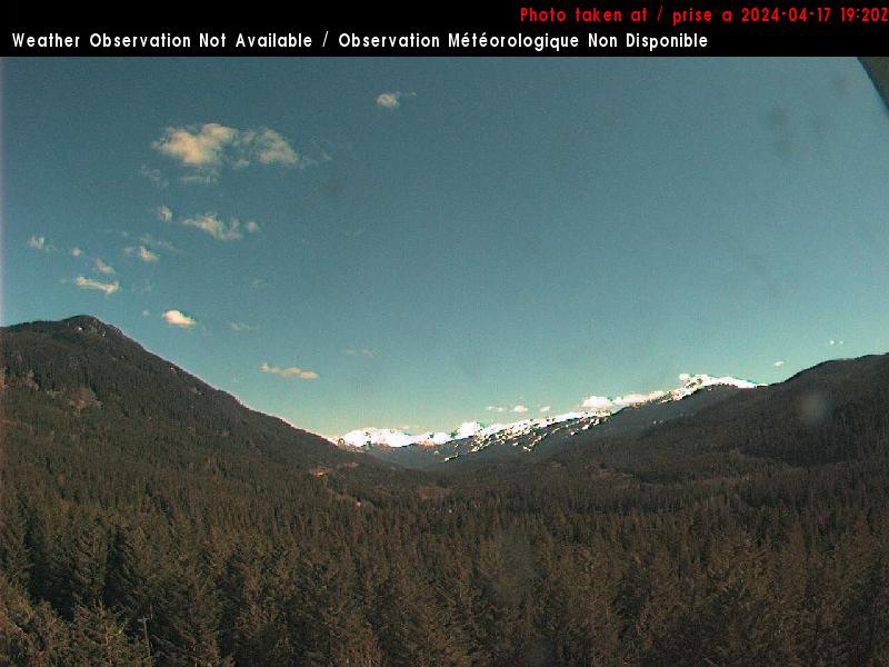
Elevation: 560 m / 1850 ft
|
Whistler MSC Radar Site WeatherCam,
10 km (6 miles) SW of Whistler on Hwy 99, looking south
Elevation: 560 m / 1850 ft
|
Sea to Sky Highway 99, Whistler North to Pemberton
|
Whistler Municipal Heliport WeatherCam,
10 km (6 miles) north of Whistler on Hwy 99, looking SW

Elevation: 650 m / 2120 ft
|
Whistler Municipal Heliport WeatherCam,
10 km (6 miles) north of Whistler on Hwy 99, looking SE

Elevation: 650 m / 2120 ft
|
Wedge, Hwy 99, about 13 km (8 miles) north
of Whistler at Riverside Drive, looking north

Elevation: 600 m / 2000 ft
|
Hwy 99 at Vine Rd in Pemberton,
32 km (20 miles) north of Whistler, looking south

Elevation: 210 m / 690 ft
|
Hwy 99 at Vine Rd in Pemberton,
32 km (20 miles) north of Whistler, looking west

Elevation: 210 m / 690 ft
|
Hwy 99 at Vine Rd in Pemberton,
32 km (20 miles) north of Whistler, looking north

Elevation: 210 m / 690 ft
|
Hwy 99 at Vine Rd in Pemberton,
32 km (20 miles) north of Whistler, looking east

Elevation: 210 m / 690 ft
|
Big Sky Golf Club, on Hwy 99,
36 km (22 miles) north of Whistler, looking south at Mt Currie

Elevation: 200 m / 670 ft
|
The Meadows at Pemberton Golf Club, on Hwy 99,
36 km (22 miles) north of Whistler, looking WSW

Elevation: 200 m / 670 ft
|
Pemberton Regional Airport, on Hwy 99,
37 km (23 miles) north of Whistler, looking west

Elevation: 200 m / 670 ft
|
Pemberton Regional Airport, on Hwy 99,
37 km (23 miles) north of Whistler, looking east
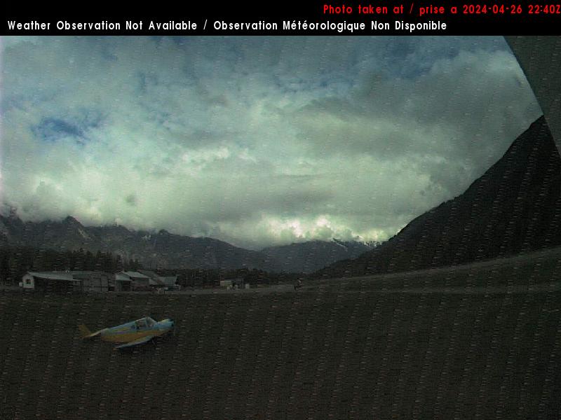
Elevation: 200 m / 670 ft
|
Duffey Lake Road Highway 99, Lillooet
|
Hwy 99 (Duffey Lake Rd) at Cayoosh summit,
about 60 km (40 miles) north of Whistler, looking east

Elevation: 1280 m / 4200 ft
|
Lillooet Airport, SE of Hwy 99,
136 km (85 miles) NE of Whistler, looking north
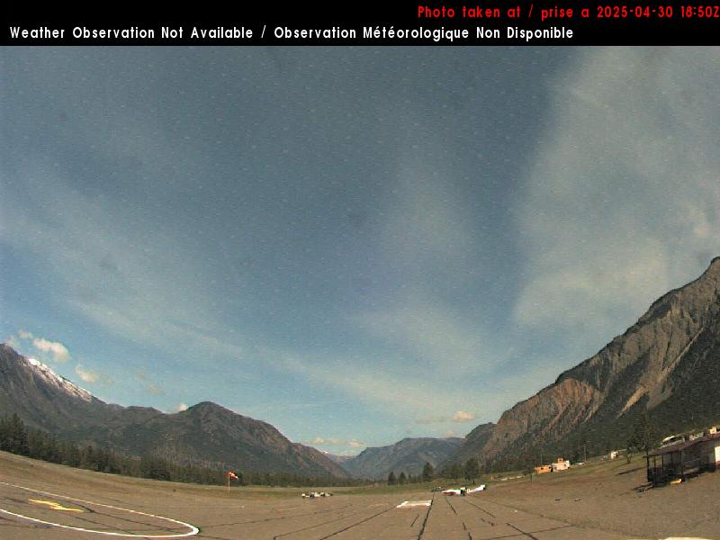
Elevation: 400 m / 1320 ft
|
Lillooet Airport, SE of Hwy 99,
136 km (85 miles) NE of Whistler, looking west
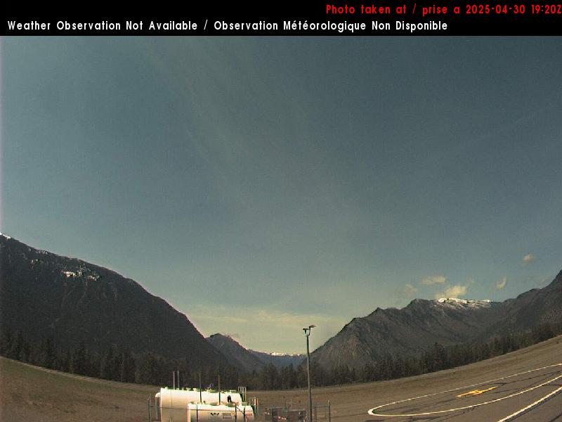
Elevation: 400 m / 1320 ft
|
Lillooet Airport, SE of Hwy 99,
136 km (85 miles) NE of Whistler, looking south
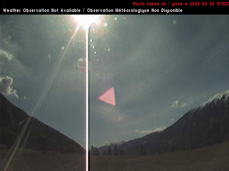
Elevation: 400 m / 1320 ft
|
Hwy 99, near Fountain Slide,
about 15 km (9 miles) north of Lillooet, looking northeast

Elevation: 400 m / 1300 ft
|
|
Show telemetry | Hide telemetry |
|
| Page History: |
|
| October 2012 | Original version with 40 camera views in 6 rows,
designed based on the Mount Garibaldi WebCams webpage
Includes the option to show the last 24 hours of BC River Forecast Centre
snow telemetry data from the sites nearest to Whistler below the webcams
Revised the page layout to use separate tables for each row, to accommodate the very different widths of HD and standard images
Later expanded to 56 camera views in 8 rows, adding the original Whistler Village camera, other cameras in Whistler, and cameras along the Sea to Sky Hwy 99 Corridor
|
| November 2012 |
Expanded to 62 camera views, adding cameras in Whistler Village and along the Sea to Sky Hwy 99 Corridor, and improved many image captions |
| December 2012 | Improved code to properly handle missing telemetry data |
| January 2013 | Expanded to 64 camera views, adding 2 panoramic views from the new Blackcomb Mountain Rendezvous cam |
| February 2013 |
Expanded to 69 camera views in 9 rows, adding 4 HD views from the Blackcomb Mountain Rendezvous cam and a new view looking down 7th Heaven Express |
| August 2013 | Expanded to 70 camera views, adding the Blackcomb Tube Park webcam |
| November 2013 |
Expanded to 82 camera views in 10 rows, adding the new Horstman T-Bar and panoramic Whistler Peak cams,
8 Nav Canada cams (Lillooet Airport, Whistler Heliport, Whistler Radar), Meadows at Pemberton, and SR 99 near Lillooet
Added display of image modification times for several webcams which have no timestamps on their images, and improved several image captions
Reduced to 81 camera views, removing 1 defunct Whistler Village cam (several other cams shown may be defunct, and
are pending removal following a sufficient waiting period -- some Whistler webcams have revived after a year or more offline)
|
| December 2013 |
Added BC River Forecast Centre snow telemetry data
from the somewhat more distant Spuzzum Creek site, and improved the appearance of the displayed data for all sites
|
| February 2014 |
Expanded to 82 camera views, adding another Whistler Olympic Park cam,
plus updated all 8 Horstman Glacier webcam views to new HD versions and fixed the NavCanada Lillooet cam URLs which had changed
|
| March 2014 |
Revised the elevations of some Nav Canada webcams
Major rearrangement: moved 3 rows of defunct cameras to the end, and rearranged several other images into different rows to reduce page width
|
| October 2014 |
Expanded to 86 camera views in 11 rows, adding another Whistler Weather cam and 3 new BC HighwayCams at Whistler Village Gate,
plus rearranging several views near and south of Whistler
|
| December 2014 |
Expanded to 88 camera views, adding 4 new BC HighwayCams in Pemberton, removing 2 BC HighwayCams closer to Squamish which are duplicated on
the Mount Garibaldi WebCams webpage, and rearranging several views north and south of Whistler
Later reduced to 62 standard camera views in 8 rows, removing 3 rows with 26 older defunct Whistler camera views by default and
implementing an option to show them if necessary (by appending "&defunct=true" to the URL)
Added image modification times for the Whistler Mtn Roundhouse and Blackcomb Mtn Rendezvous cams, which formerly had timestamps on the images,
but no longer do as of late 2014 (timestamps returned to the images in early 2015)
|
| February 2015 | Improved links to British Columbia Snow Telemetry script |
| July 2015 | Expanded to 63 camera views, adding another Pemberton cam and fixing one camera link which had changed |
| November 2015 |
Expanded to 70 camera views, adding 5 new HD views from the Blackcomb Mtn Rendezvous cam (its 4 older views may be defunct) plus 2 more views from Whistler Golf Club,
and fixed other camera links which had changed
|
| January 2016 |
Reduced to 66 camera views rearranged in 9 rows, adding 4 new full HD views from the Whistler Village cam,
while moving its 4 older views and the 4 older views from the Blackcomb Mtn Rendezvous cam to the "&defunct=true" subpage (all 8 images are now offline and most likely defunct)
Added the new Downton/Lajoie Upper BCRFC telemetry site (installed August 2015) north of Pemberton, along with the older Green Mountain and Mission Ridge sites in the same region,
while removing the Disappointment Lake and Spuzzum Creek sites which are already shown on the Mount Garibaldi WebCams page
|
| February 2016 |
Changed the BCRFC telemetry data display to use the external script written several years ago,
now modified to more closely match the style of the SNOTEL and MesoWest data on other Mountain WebCams pages,
the script makes maintenance of these pages much easier by moving all BCRFC telemetry code into a single location instead of separate code on each individual BC Mountain WebCams page
Major internal PHP code cleanup, updating and/or deleting legacy code left over from very long ago, from the
Mount Rainier Paradise WebCams webpage (March 2009) on which all of these "Webcams + Telemetry Pages" are based,
and even from the original Washington Mountain WebCams webpage (December 2004) on which the Rainier page was based
Added descriptive dividers between major subregions of the webcam images, to clarify the layout of this fairly large and complex page
|
| March 2016 |
Expanded to 68 camera views, adding a new image from the Whistler Mtn Roundhouse and Whistler Village cams
Added 7 regional Environment Canada telemetry sites, which have precip, wind, pressure, and other sensors (but not snowdepth),
along with 10 BC Hydro sites
which have only temp and precip, with data available from MesoWest
— which appear to be almost all of the very few telemetry sites in this very large region
Wrote a new external script to grab data directly from Environment Canada for sites that are not available
via MesoWest, which takes the data table from the HTML webpage and formats it to match the style of the MesoWest data
Added descriptive dividers between major subregions of the much-expanded telemetry section, as had been done earlier for the webcam images
|
| November 2016 | Fixed several BC Hydro telemetry sites whose data format had changed |
| December 2016 |
Expanded to 74 camera views, adding 3 more new BC HighwayCams at Function Junction, 2 more newly found images from the Whistler Peak
and Blackcomb Mtn Rendezvous cams, and a new webcam near Whistler Mtn Roundhouse, plus updated the 7th Heaven Cam to its new Prism URL and rearranged several images
|
| October 2017 | Fixed the 7th Heaven Cam which had changed back to its previous URL |
| December 2017 |
Reduced to 72 camera views, removing 2 more long-defunct Whistler-Blackcomb cams, and
fixed the URLs for several views from Whistler Peak, which had changed after a new webcam was installed
|
|
|


