| South Lake Tahoe and Heavenly Valley |
|||||||||||||||||||||||||||||||||||||||
| SR 89 (northern) junction on US 50 in South Lake Tahoe  Elevation: 6270 ft |
Ski Run Blvd on US 50 in South Lake Tahoe, looking east  Elevation: 6250 ft |
El Dorado Beach at Lakeview Commons on US 50 in South Lake Tahoe, looking north / NW Elevation: 6250 ft Image modification time: Sat Jan 25, 2025 09:48:14 |
Riva Grill at Ski Run Marina on US 50 in South Lake Tahoe, looking north / NW  Elevation: 6250 ft Image modification time: Sat Jan 25, 2025 10:38:37 |
Ice Rink at Heavenly Village, South Lake Tahoe on US 50 Elevation: 6300 ft |
Gondola at Heavenly Village, South Lake Tahoe on US 50 Elevation: 6300 ft |
Heavenly Village, South Lake Tahoe on US 50 Elevation: 6300 ft |
|||||||||||||||||||||||||||||||||
| Edgewood Tahoe Golf Course, Stateline NV on US 50, looking NW Elevation: 6250 ft |
Stateline Lake Tahoe Cam on US 50, looking north / NW Elevation: 6500 ? ft Image modification time: Sat Jan 25, 2025 10:29:31 |
KCRA Tahoe Sky Cam, atop Harveys Resort & Casino in Stateline NV on US 50, looking NW  Elevation: 6500 ? ft |
SR207 at Tramway Dr, at summit of Kingsbury Grade (Nevada)  Elevation: 7350 ft |
Heavenly Mountain Resort, base of Comet Express and Dipper Express (Nevada) Elevation: 8650 ft |
Heavenly Mountain Resort, top of Dipper Express (California)  Elevation: 9880 ft Image modification time: Thu Aug 03, 2023 09:55:38 |
Heavenly Mountain Resort, Snow Stake Cam near bottom of Sky Express 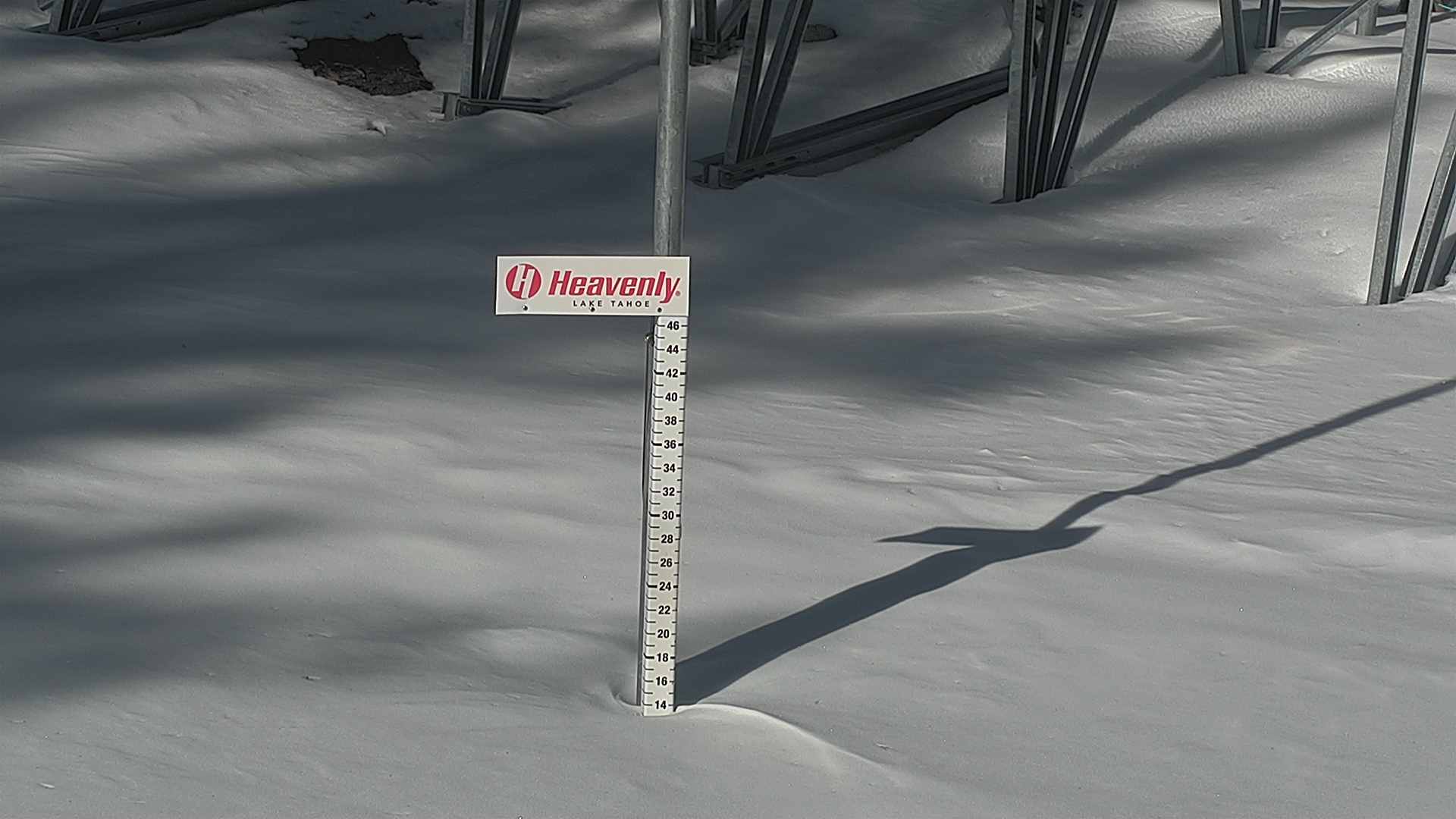 Elevation: 8550 ft Image modification time: Mon Dec 11, 2023 13:21:14 |
| KGO-TV Tahoe Cam, Heavenly Mountain Resort, top of Gunbarrel, looking north  Elevation: 8250 ft |
Heavenly Mountain Resort, top of tram, looking north 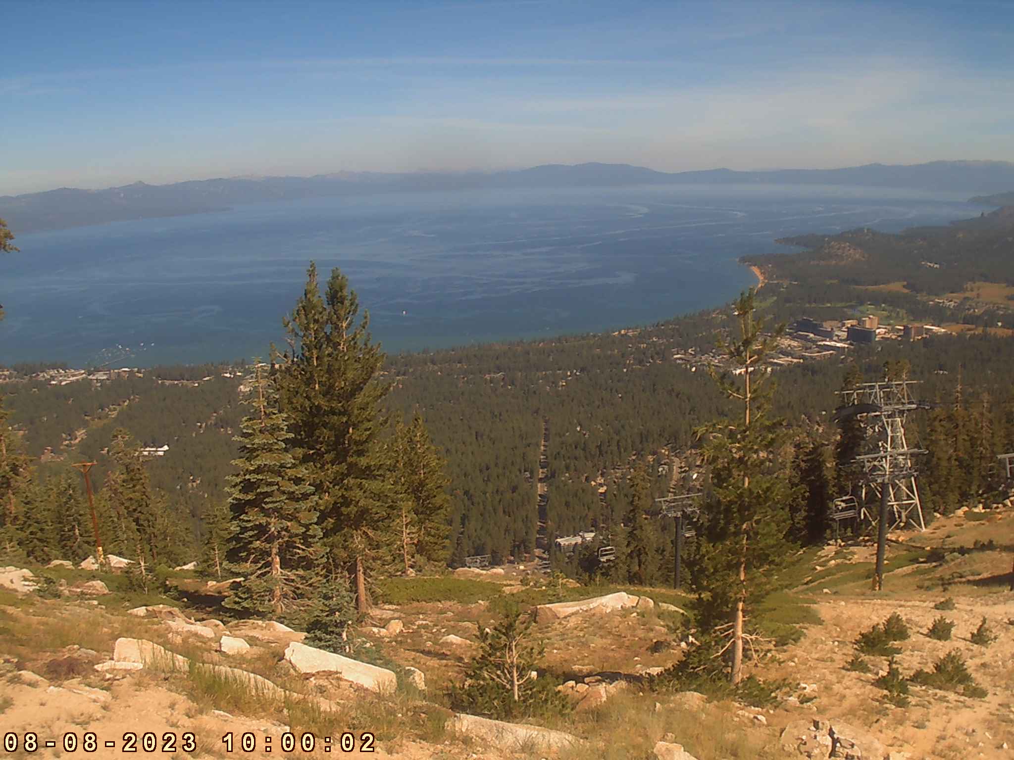 Elevation: 8250 ft Image modification time: Tue Aug 08, 2023 10:00:03 |
Tahoe Fire Camera at Heavenly Mountain Resort, near top of Gunbarrel Express, 2 miles SE of US 50, movable HD cam often looking NW  Elevation: 8370 ft |
Tahoe Fire Camera at Heavenly Mountain Resort, near top of Gunbarrel Express, 2 miles SE of US 50, movable 4K UltraHD cam often looking NW  Elevation: 8370 ft |
Heavenly Mountain Resort, observation deck at top of Gondola, 2 miles SE of US 50, looking NW Elevation: 9120 ft |
Heavenly Mountain Resort, observation deck at top of Gondola, 2 miles SE of US 50, looking NW  Elevation: 9120 ft Image modification time: Thu Dec 14, 2023 16:15:41 |
| US 50 Corridor via Echo Summit |
|||||||||||||||||||||||||||||||||||||||
Hazel Ave in Nimbus on US 50 @ MP 21  Elevation: 150 ft |
Scott Rd in Folsom on US 50 @ MP 27, looking west  Elevation: 800 ft |
Scott Rd in Folsom on US 50 @ MP 27, looking east?  Elevation: 800 ft |
Folsom Lake Marina, on east side of lake, 5 miles north of US 50 @ MP 30, looking WSW 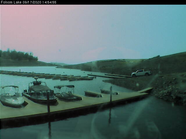 Elevation: 480 ft |
Folsom Lake Marina, on east side of lake, 5 miles north of US 50 @ MP 30, looking SE 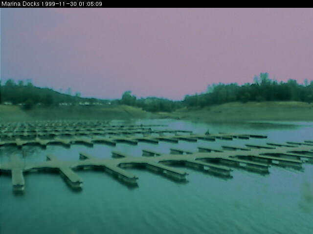 Elevation: 480 ft |
Gryzbekistan Cam in Rescue, east of Folsom Lake, 6 miles north of US 50 @ MP 32, looking NW Elevation: 1320 ft |
Hangtown Weather Cam, west of Placerville, 1.5 miles NW of US 50 @ MP 40, looking north  Elevation: 1360 ft |
|||||||||||||||||||||||||||||||||
Spring St in Placerville on US 50 @ MP 46  Elevation: 1850 ft |
Tahoe Fire Camera at Big Hill Lookout, 1 mile south of Union Valley Reservoir, 5 miles north of US 50 at White Hall, 19 miles WSW of Lake Tahoe, movable HD cam  Elevation: 6160 ft |
Twin Bridges on US 50  Elevation: 6100 ft |
Sierra-at-Tahoe Rd on US 50, looking west  Elevation: 6900 ft |
Sierra-at-Tahoe Rd on US 50, looking east  Elevation: 6900 ft |
Echo Summit on US 50, 2 miles NE of the top of Sierra-at-Tahoe, looking NE  Elevation: 7400 ft |
Meyers on US 50, 3 miles north of Echo Summit, at the southern SR 89 junction  Elevation: 6350 ft |
| Sierra-at-Tahoe Ski Resort |
|||||||||||||||||||||||||||||||||||||||
| Tahoe Fire Camera atop Sierra-at-Tahoe, near Top of Grandview, 1.7 miles SE of US 50 and 10 miles south of Lake Tahoe, movable HD cam  Elevation: 8800 ft |
Sierra-at-Tahoe on US 50, HD view of Lake Tahoe from Top of Grandview Elevation: 8800 ft |
Sierra-at-Tahoe on US 50, 360° Smokehouse BBQ  Elevation: 8800 ft |
Sierra-at-Tahoe on US 50, Huckleberry Canyon  Elevation: 8800 ft |
Sierra-at-Tahoe on US 50, Top of Grandview Express  Elevation: 8800 ft |
Sierra-at-Tahoe on US 50, Bottom of Grandview Express  Elevation: 7300 ft |
Sierra-at-Tahoe on US 50, Dynamite  Elevation: 7300 ft |
Sierra-at-Tahoe on US 50, Superpipe  Elevation: 7300 ft |
||||||||||||||||||||||||||||||||
| Sierra-at-Tahoe on US 50, Easy Rider  Elevation: 7300 ft |
Sierra-at-Tahoe on US 50, Broadway  Elevation: 7300 ft |
Sierra-at-Tahoe on US 50, Base Area  Elevation: 7300 ft |
Sierra-at-Tahoe on US 50, Backyard  Elevation: 7300 ft |
Sierra-at-Tahoe on US 50, West Bowl  Elevation: 6640 ft |
Sierra-at-Tahoe on US 50, Baja Grill  Elevation: 6640 ft |
Sierra-at-Tahoe on US 50, Lower Bashful  Elevation: 6640 ft |
| SR 88 Corridor via Carson Pass |
|||||||||||||||||||||||||||||||||||||||
| Upper Shake Ridge, NE of Volcano, 5 miles west of SR 88 on Shake Ridge Rd Elevation: 3400 ft |
Kirkwood Mountain Resort, Base Cam, 1 mile south of SR 88 Elevation: 7800 ft |
Kirkwood Mountain Resort, Snow Stake Cam near Chair 1  Elevation: 7840 ft Image modification time: Sat Jan 25, 2025 10:35:06 |
KMEV North Cam, NW of Minden-Tahoe Airport, west of US 395 north of junction with SR 88, user-controlled movable cam looking NE to SW Elevation: 4800 ft |
KMEV South Cam, SW of Minden-Tahoe Airport, west of US 395 north of junction with SR 88, user-controlled movable cam looking NW to SE Elevation: 4800 ft |
Carson Valley Weather Cam, Minden NV, east of US 395 north of junction with SR 88, looking WSW  Elevation: 4800 ft |
Another cam in Minden NV, very close to CV Weather, east of US 395 north of junction with SR 88, looking west  Elevation: 4800 ft |
|||||||||||||||||||||||||||||||||
| Show telemetry | Hide telemetry | |||||||||||||||||||||||||||
|
|||||||||||||||||||||||||||