South Lake Tahoe WebCams
        Amar Andalkar's Ski Mountaineering and Climbing Site
Ski Mountaineering Photos & Trip Reports Equipment & Info Cascade Volcanoes Ring of Fire Site Map Links

Mountain WebCams Pages:     Cascade Volcano     Ring of Fire and Beyond     |     Alaska (except SE)     SE Alaska, Yukon, & Northern BC     SW British Columbia     Washington     Oregon     N California     Sierra Nevada     S California     Hawaii     Antarctic     .
WebCams + Telemetry Pages:     Whistler    Garibaldi    BC Cascades    Baker    N Cascades    Chelan    Olympic    Stevens    Blewett    Snoqualmie    Crystal    Rainier    White Pass    Adams    St Helens    Hood    Jefferson    Santiam    Bachelor    Diamond    Crater Lake    McLoughlin    Shasta    Lassen    Feather    Donner    N Tahoe    S Tahoe    Sonora    Yosemite    Mammoth    Sequoia    Whitney    Yellowstone    .
Image Size:     Large (320 px high)     Medium (240 px high)     Small (160 px high)         Page loaded at 10:56 PM PST on Friday, November 15, 2024         NOTE: If this page is not loading properly, click here to disable the Nevada DOT webcams, as server issues on that website are often the cause of such problems. .
South Lake Tahoe and Heavenly Valley
SR 89 (northern) junction on US 50
in South Lake Tahoe


Elevation: 6270 ft
 
Ski Run Blvd on US 50
in South Lake Tahoe, looking east


Elevation: 6250 ft
 
El Dorado Beach at Lakeview Commons on US 50
in South Lake Tahoe, looking north / NW


Elevation: 6250 ft
Image modification time: Fri Nov 15, 2024 22:53:13
Riva Grill at Ski Run Marina on US 50
in South Lake Tahoe, looking north / NW


Elevation: 6250 ft
Image modification time: Fri Nov 15, 2024 22:56:43
Ice Rink at Heavenly Village,
South Lake Tahoe on US 50


Elevation: 6300 ft
 
Gondola at Heavenly Village, South Lake Tahoe on US 50

Elevation: 6300 ft
 
Heavenly Village, South Lake Tahoe on US 50

Elevation: 6300 ft
 
Edgewood Tahoe Golf Course, Stateline NV on US 50, looking NW

Elevation: 6250 ft
 
Stateline Lake Tahoe Cam on US 50, looking north / NW

Elevation: 6500 ? ft
Image modification time: Fri Nov 15, 2024 22:34:12
KCRA Tahoe Sky Cam, atop Harveys Resort & Casino
in Stateline NV on US 50, looking NW


Elevation: 6500 ? ft
 
SR207 at Tramway Dr,
at summit of Kingsbury Grade (Nevada)


Elevation: 7350 ft
 
Heavenly Mountain Resort, base of Comet Express
and Dipper Express (Nevada)


Elevation: 8650 ft
 
Heavenly Mountain Resort,
top of Dipper Express (California)


Elevation: 9880 ft
Image modification time: Thu Aug 03, 2023 09:55:38
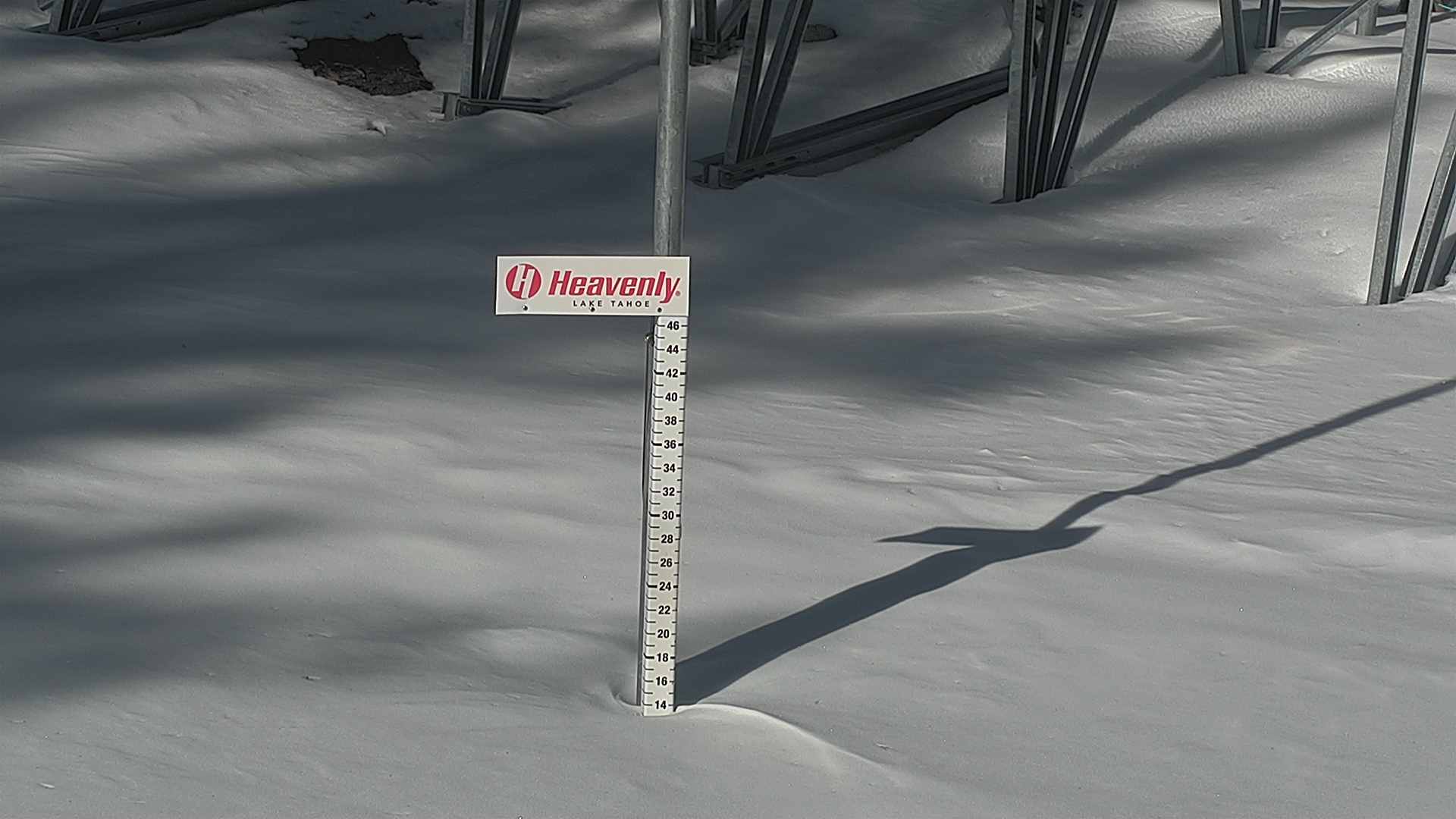
Heavenly Mountain Resort, Snow Stake Cam
near bottom of Sky Express


Elevation: 8550 ft
Image modification time: Mon Dec 11, 2023 13:21:14
KGO-TV Tahoe Cam, Heavenly Mountain Resort,
top of Gunbarrel, looking north


Elevation: 8250 ft
 
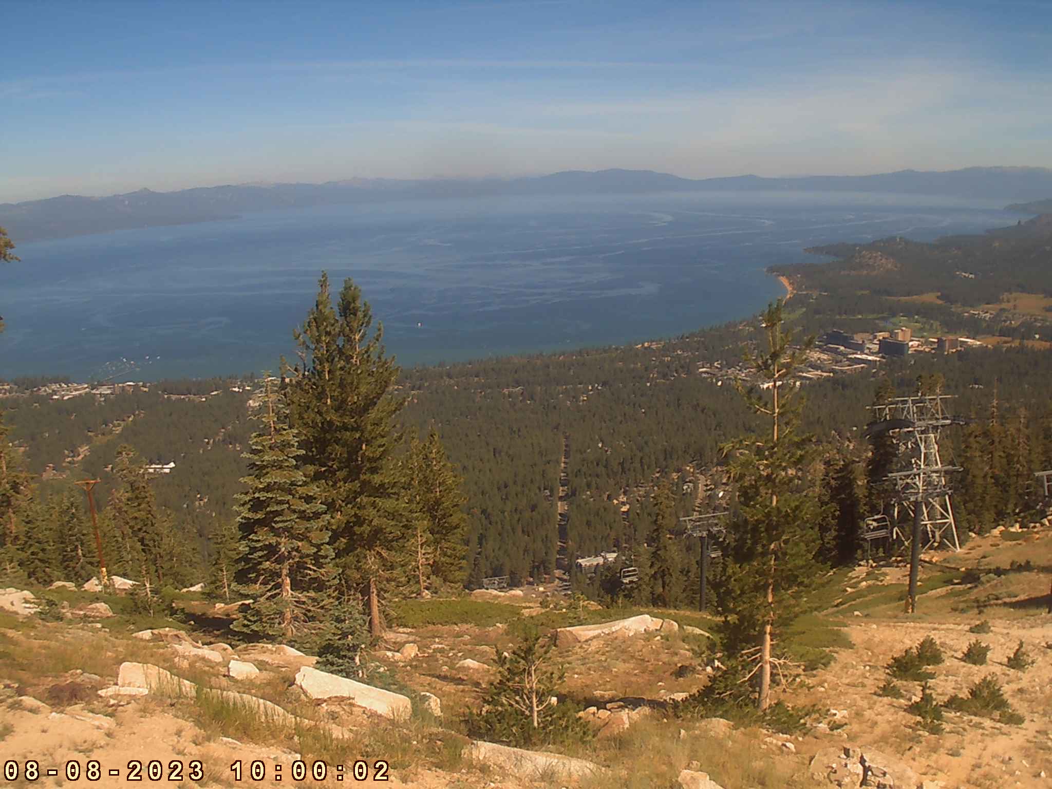
Heavenly Mountain Resort, top of tram, looking north

Elevation: 8250 ft
Image modification time: Tue Aug 08, 2023 10:00:03
Tahoe Fire Camera at Heavenly Mountain Resort, near top of Gunbarrel Express,
2 miles SE of US 50, movable HD cam often looking NW


Elevation: 8370 ft
 
Tahoe Fire Camera at Heavenly Mountain Resort, near top of Gunbarrel Express,
2 miles SE of US 50, movable 4K UltraHD cam often looking NW


Elevation: 8370 ft
 
Heavenly Mountain Resort, observation deck at top of Gondola,
2 miles SE of US 50, looking NW


Elevation: 9120 ft
 
Heavenly Mountain Resort, observation deck at top of Gondola,
2 miles SE of US 50, looking NW


Elevation: 9120 ft
Image modification time: Thu Dec 14, 2023 16:15:41
US 50 Corridor via Echo Summit
Hazel Ave in Nimbus on US 50 @ MP 21

Elevation: 150 ft
Scott Rd in Folsom on US 50 @ MP 27, looking west

Elevation: 800 ft
Scott Rd in Folsom on US 50 @ MP 27, looking east?

Elevation: 800 ft
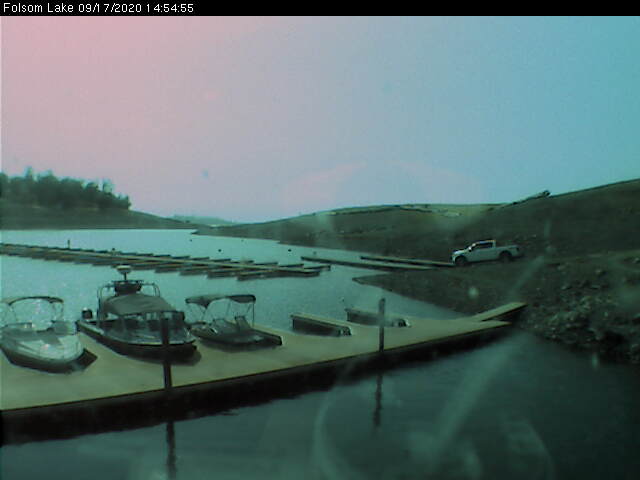
Folsom Lake Marina, on east side of lake,
5 miles north of US 50 @ MP 30, looking WSW


Elevation: 480 ft