| Tiger Mountain Launch, looking SE, south of I-90 @ MP 18 in Issaquah  Elevation: 200 ft |
I-90: Sunset Way @ MP 18.1 in Issaquah  Elevation: 150 ft |
I-90: 284th SE @ MP 21.3  Elevation: 500 ft |
I-90: SR 18 Interchange @ MP 25.7  Elevation: 950 ft |
SR 18 @ MP 27.8, I-90 Interchange  Elevation: 950 ft |
SR 18 @ MP 23.6, Tiger Mountain, 4 miles south of I-90 @ MP 25.7  Elevation: 1350 ft |
Meadowbrook Bridge over the Snoqualmie River, NE of I-90 @ MP 27 in Snoqualmie  Elevation: 400 ft |
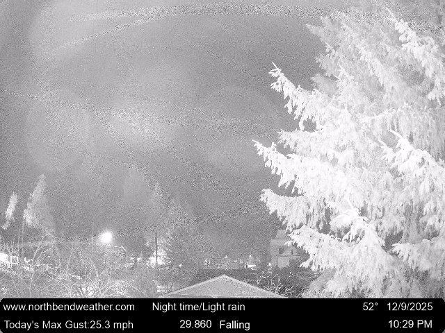
North Bend Weather, north of I-90 @ MP 31, looking ENE at Mount Si  Elevation: 450 ft |
North Bend on I-90 @ MP 33.3  Elevation: 500 ft |
Tinkham Road on I-90 @ MP 45.3  Elevation: 1700 ft |
Denny Creek on I-90 @ MP 46.8  Elevation: 1800 ft |
Asahel Curtis on I-90 @ MP 48.1  Elevation: 2000 ft |
Rockdale on I-90 @ MP 49.4  Elevation: 2200 ft |
Franklin Falls on I-90 @ MP 51.3  Elevation: 2700 ft |
Snoqualmie Summit on I-90 @ MP 52  Elevation: 3000 ft |
East Snoqualmie Summit on I-90 @ MP 53.5  Elevation: 3000 ft |
Snoqualmie Pass, south of I-90 @ MP 53  Elevation: 3000 ft |
Alpental Alpcam, north of I-90 @ MP 52  Elevation: 3100 ft |
Alpental Ski Area, base area, north of I-90 @ MP 52, looking NW  Elevation: 3150 ft |
Alpental Ski Area, Mid-Mountain, north of I-90 @ MP 52, looking NE at Snoqualmie Mtn and the top of Armstrong Express  Elevation: 4350 ft |
Alpental Ski Area, top of Chair 2, north of I-90 @ MP 52, looking SE  Elevation: 5400 ft |
Summit Central Ski Area, south of I-90 @ MP 53, top of Central Express, looking NE at Snoqualmie Mtn, Red Mtn, and Kendall Peak  Elevation: 3880 ft |
Summit Central Ski Area base, south of I-90 @ MP 53, looking south  Elevation: 3000 ft |
Summit Central Ski Area, Silver Fir base, south of I-90 @ MP 54, looking west  Elevation: 2800 ft |
Hyak Aviation Cam, I-90 @ MP 54, looking SW  Elevation: 2600 ft |
Hyak Aviation Cam, I-90 @ MP 54, looking west  Elevation: 2600 ft |
Hyak Aviation Cam, I-90 @ MP 54, looking WNW  Elevation: 2600 ft |
Hyak Aviation Cam, I-90 @ MP 54, looking NW  Elevation: 2600 ft |
Hyak Aviation Cam, I-90 @ MP 54, looking east  Elevation: 2600 ft |
Hyak Aviation Cam, I-90 @ MP 54, looking SE  Elevation: 2600 ft |
Hyak on I-90 @ MP 55.2  Elevation: 2600 ft |
Old Keechelus Snow Shed on I-90 @ MP 57.7  Elevation: 2600 ft |
Easton Hill on I-90 @ MP 67.4  Elevation: 2650 ft |
Easton on I-90 @ MP 70.6  Elevation: 2150 ft |
Easton Airport, I-90 @ MP 71, looking west  Elevation: 2220 ft |
East Easton on I-90 @ MP 72.7  Elevation: 2120 ft |
West Nelson on I-90 @ MP 73.2, looking west  Elevation: 2120 ft |
Upper Kittitas County cam, 2 miles SW of I-90 @ MP 78, distant view of Stuart Range from 23 miles SSW Elevation: 2800 ft |
Bullfrog on I-90 @ MP 79.5, looking west  Elevation: 1980 ft |
Bullfrog on I-90 @ MP 79.5, looking east  Elevation: 1980 ft |
| Cle Elum Lake cam, off SR 903 in Ronald, 6 miles NNW of I-90 @ MP 80 Elevation: 2300 ft |
Suncadia Lodge, 2 miles north of I-90 @ MP 80, looking NW towards the Cascades  Elevation: 2300 ft |
Cle Elum on I-90 @ MP 84.6  Elevation: 1960 ft |
Shifting Gears Ranch on Teanaway Rd just off SR 970, 8 miles ENE of Cle Elum on I-90 @ MP 85  Elevation: 2000 ft |
Indian John Hill on I-90 @ MP 89.4 |