Northern Sierra Nevada: I-80 Hwy Corridor ..
|
Applegate on I-80 @ MP 128, looking south (Caltrans)
![]()
Elevation: 2050 ft
|
Colfax on I-80 @ MP 135, looking north (Caltrans)
![]()
Elevation: 2400 ft
|
Dutch Flat on I-80 @ MP 145, looking west (Caltrans)
![]()
Elevation: 3350 ft
|
Crystal Springs on I-80 @ MP 148, looking NE (Caltrans)
![]()
Elevation: 3900 ft
|
Whitmore Grade on I-80 @ MP 154, looking NE (Caltrans)
![]()
Elevation: 5000 ft
|
Kingvale on I-80 @ MP 171, looking east (Caltrans)
![]()
Elevation: 6150 ft
|
Sugar Bowl, south of I-80 @ MP 174

Elevation: 7000 ft
|
Sugar Bowl, south of I-80 @ MP 174

Elevation: 7000 ft
|
Sugar Bowl, south of I-80 @ MP 174

Elevation: 7000 ft
|
Sugar Bowl, south of I-80 @ MP 174

Elevation: 7000 ft
|
Sugar Bowl, south of I-80 @ MP 174

Elevation: 7000 ft
|
Donner Ski Ranch, south of I-80 @ MP 174

Elevation: 7050 ft
|
Boreal on I-80 @ MP 176, looking south

Elevation: 7150 ft
|
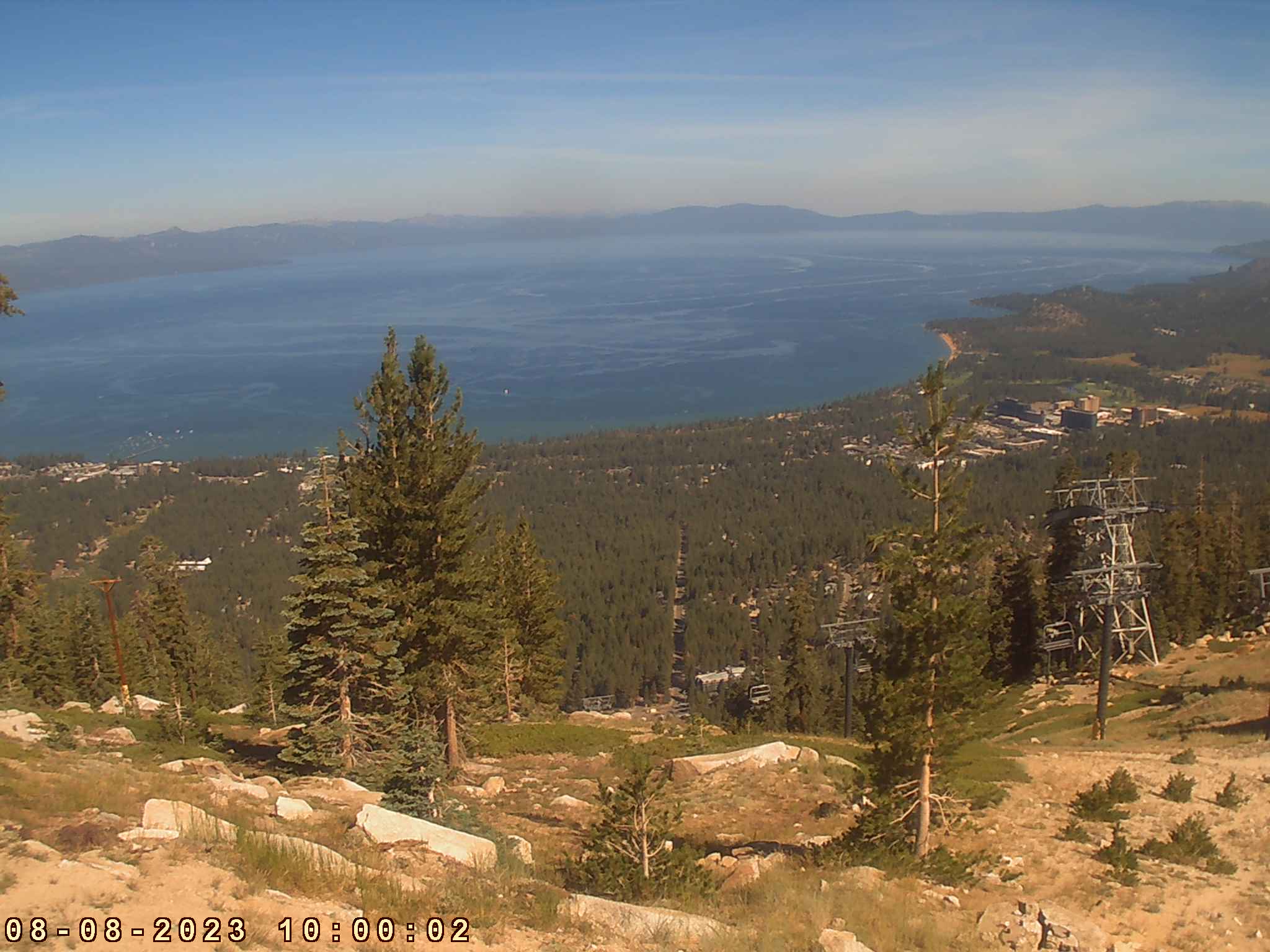
Tahoe Donner Ski Area, north of I-80 @ MP 184

Elevation: 6750 ft
|
Donner Lake on I-80 @ MP 184, looking west

Elevation: 5940 ft
|
Donner Pass Road on I-80 @ MP 184, looking west

Elevation: 6000 ft
|
Downtown Truckee on I-80 @ MP 186, looking north

Elevation: 5800 ft
|
Truckee Scales on I-80 @ MP 191, looking east (Caltrans)
![]()
Elevation: 5800 ft
|
Floriston on I-80 @ MP 199, looking SW (Caltrans)
![]()
Elevation: 5320 ft
|
Robert McQueen High School, I-80 @ MP 9, west of Reno

Elevation: 5000 ft
|
KTVN Cloud Cam in downtown Reno, usually looking west

Elevation: 4500 ft
|
Desert Research Institute, north of I-80 and US 395 junction in Reno, looking SSW
Elevation: 5000 ft
|
NWS Reno Office, north of I-80 and US 395 junction, looking SW

Elevation: 5000 ft
|
North Valleys High School, east of US 395 in northern Reno

Elevation: 5100 ft
|
Pleasant Valley Elementary School, on US 395 south of Reno, looking west

Elevation: 4850 ft
|
I-580 Galena Creek Bridge North Webcam, west of US 395 at Pleasant Valley, looking south
Elevation: 5200 ft
|
I-580 Galena Creek Bridge South Webcam, west of US 395 at Pleasant Valley, looking NE
Elevation: 5200 ft
|
I-580 Galena Creek Bridge East Webcam, Pleasant Valley on US 395, looking west
Elevation: 4850 ft
|
I-580 Galena Creek Bridge Arch Webcam, Pleasant Valley on US 395, looking west

Elevation: 4850 ft
|
Northern Lake Tahoe Region: SR 267, SR 28, SR 431 Hwy Corridor ..
|
Northstar-at-Tahoe Village on SR 267

Elevation: 6330 ft
|
Northstar-at-Tahoe Village on SR 267

Elevation: 6330 ft
|
Northstar-at-Tahoe Village on SR 267

Elevation: 6330 ft
|
Northstar-at-Tahoe Village on SR 267

Elevation: 6330 ft
|
Northstar-at-Tahoe Village on SR 267

Elevation: 6330 ft
|
Northstar-at-Tahoe Village on SR 267

Elevation: 6330 ft
|
Northstar-at-Tahoe on SR 267, mid-mountain

Elevation: 6950 ft
|
Northstar-at-Tahoe on SR 267, mid-mountain

Elevation: 6950 ft
|
Northstar-at-Tahoe on SR 267, mid-mountain

Elevation: 6950 ft
|
Northstar-at-Tahoe on SR 267, mid-mountain

Elevation: 6950 ft
|
Northstar-at-Tahoe on SR 267, summit of Mt Pluto, looking north

Elevation: 8610 ft
|
Northstar-at-Tahoe on SR 267, summit of Mt Pluto, looking NW

Elevation: 8610 ft
|
Northstar-at-Tahoe on SR 267, summit of Mt Pluto, looking SW

Elevation: 8610 ft
|
Northstar-at-Tahoe on SR 267, summit of Mt Pluto, looking south

Elevation: 8610 ft
|
Northstar-at-Tahoe on SR 267, summit of Mt Pluto

Elevation: 8610 ft
|
Northstar-at-Tahoe on SR 267, summit of Mt Pluto

Elevation: 8610 ft
|
Mourelatos Lakeshore Resort, Tahoe Vista on SR 28, looking SE

Elevation: 6250 ft
|
Tahoe Mountain Sports Webcam, Kings Beach on SR 28, looking south

Elevation: 6250 ft
|
Ski Beach Boat Launch Web Cam, Incline Village on SR 28, looking SW

Elevation: 6770 ft
|
Diamond Peak Ski Resort on SR 28, Base Lodge Cam

Elevation: 6770 ft
|
Diamond Peak Ski Resort on SR 28, Ski School Cam

Elevation: 6770 ft
|
Diamond Peak Ski Resort on SR 28, Snowflake Lodge Cam

Elevation: 7440 ft
|
Diamond Peak Ski Resort on SR 28, Ridge Run Cam

Elevation: 7440 ft
|
Diamond Peak Ski Resort on SR 28, Mountain Cam atop Crystal Express

Elevation: 8540 ft
|
Mt Rose on SR 431, Main Lodge Cam

Elevation: 8260 ft
|
Western Lake Tahoe Region: SR 89 and SR 28 Hwy Corridor ..
|
Squaw Valley, west of SR 89, base area

Elevation: 6200 ft
|
Squaw Valley Lodge, west of SR 89

Elevation: 6200 ft
|
Squaw Valley SuperCam, west of SR 89

Elevation: 6200 ft
|
Squaw Valley SuperCam, west of SR 89

Elevation: 6200 ft
|
Squaw Valley SuperCam, west of SR 89

Elevation: 6200 ft
|
Squaw Valley SuperCam, west of SR 89

Elevation: 6200 ft
|
Squaw Valley SuperCam, west of SR 89

Elevation: 6200 ft
|
Squaw Valley SuperCam, west of SR 89

Elevation: 6200 ft
|
Squaw Valley SuperCam, west of SR 89

Elevation: 6200 ft
|
Squaw Valley SuperCam, west of SR 89

Elevation: 6200 ft
|
Squaw Valley SuperCam, west of SR 89

Elevation: 6200 ft
|
Squaw Valley SuperCam, west of SR 89

Elevation: 6200 ft
|
Squaw Valley SuperCam, west of SR 89

Elevation: 6200 ft
|
Squaw Valley, west of SR 89, High Camp

Elevation: 8200 ft
|
Squaw Valley, west of SR 89, High Camp

Elevation: 8200 ft
|
Squaw Valley, west of SR 89, High Camp

Elevation: 8200 ft
|
Squaw Valley, west of SR 89, High Camp

Elevation: 8200 ft
|
Squaw Valley, west of SR 89, High Camp

Elevation: 8200 ft
|
Squaw Valley, west of SR 89, High Camp

Elevation: 8200 ft
|
Squaw Valley, west of SR 89, High Camp

Elevation: 8200 ft
|
Squaw Valley, west of SR 89, High Camp

Elevation: 8200 ft
|
Sunnyside Resort Cam on SR 89, looking SE

Elevation: 6280 ft
|
USGS Truckee River at Tahoe City Webcam, junction of SR 89 and SR 28

Elevation: 6230 ft
|
Tahoe City Wye Traffic Cam, junction of SR 89 and SR 28, looking SW

Elevation: 6250 ft
|
Jake's on the Lake Cam, Tahoe City on SR 28, looking SE

Elevation: 6250 ft
|
Dollar Point Beach on SR 28, looking SW

Elevation: 6250 ft
|
Gar Woods Grill & Pier, Carnelian Bay on SR 28, looking south

Elevation: 6250 ft
|
Southern and Eastern Lake Tahoe Region: US 50, SR 88, US 395 Hwy Corridor ..
|
Sierra-at-Tahoe on US 50

Elevation: 7300 ft
|
Sierra-at-Tahoe on US 50

Elevation: 8800 ft
|
Sierra-at-Tahoe on US 50

Elevation: 7300 ft
|
Sierra-at-Tahoe on US 50

Elevation: 7300 ft
|
Sierra-at-Tahoe on US 50

Elevation: 7300 ft
|
Sierra-at-Tahoe on US 50

Elevation: 7300 ft
|
Sierra-at-Tahoe on US 50

Elevation: 7300 ft
|
Sierra-at-Tahoe on US 50

Elevation: 7300 ft
|
Sierra-at-Tahoe on US 50

Elevation: 8800 ft
|
Sierra-at-Tahoe on US 50

Elevation: 7300 ft
|
Sierra-at-Tahoe on US 50

Elevation: 7300 ft
|
Sierra-at-Tahoe on US 50

Elevation: 7300 ft
|
Sierra-at-Tahoe on US 50

Elevation: 7300 ft
|
Sierra-at-Tahoe on US 50

Elevation: 8800 ft
|
Meyers Rd and US 50 @ MP 67, looking north? (Caltrans)
![]()
Elevation: 7100 ft
|
Kirkwood on SR 88, base area
(static image unavailable as of fall 2008)

Elevation: 7800 ft
|
KGO-TV Tahoe Cam, Heavenly on US 50, top of Gunbarrel, looking north

Elevation: 8250 ft
|
Heavenly on US 50, top of tram, looking north
Elevation: 8250 ft
|
Heavenly on US 50, top of Dipper Express

Elevation: 9800 ft
|
Heavenly on US 50, base of Comet Express

Elevation: 8650 ft
|
Ski Run Blvd and US 50 @ MP 79, looking east (Caltrans)
![]()
Elevation: 6250 ft
|
Ice Rink at Heavenly Village, South Lake Tahoe on US 50

Elevation: 6300 ft
|
Gondola at Heavenly Village, South Lake Tahoe on US 50

Elevation: 6300 ft
|
Heavenly Village, South Lake Tahoe on US 50

Elevation: 6300 ft
|
KCRA Tahoe Sky Cam, atop Harveys Resort & Casino in Stateline on US 50

Elevation: 6500 ? ft
|
Edgewood Tahoe Golf Course Cam, Stateline on US 50, looking NW

Elevation: 4720 ft
|
Spooner Lake XC Trailhead, junction of US 50 and SR 28

Elevation: 6970 ft
|
Carson Valley Weather Cam, Minden on US 395, looking WSW

Elevation: 4720 ft
|
Western Nevada College, Carson City, NW of junction of US 50 and 395

Elevation: 4900 ft
|
Central Sierra Nevada: SR 4, SR 108, SR 120, SR 140, SR 168 Hwy Corridor ..
|
Arnold on SR 4

Elevation: 4000 ft
|
Dorrington on SR 4

Elevation: 5000 ft
|
Bear Valley Snowmobile, on SR 4

Elevation: 7100 ft
|
Bear Valley Ski Area on SR 4, Base Lodge

Elevation: 7750 ft
|
Bear Valley Ski Area on SR 4, Polar Express Cam

Elevation: 8500 ft
|
Columbia Airport, north of SR 108, looking west

Elevation: 2150 ft
|
Columbia Airport, north of SR 108, looking north

Elevation: 2150 ft
|
Sierra Wildland Fire Cam, Bald Mtn Helibase on SR 108, looking north

Elevation: 5760 ft
|
Dodge Ridge on SR 108, Summit

Elevation: 8200 ft
|
Dodge Ridge on SR 108, Base Lodge

Elevation: 6600 ft
|
Pine Mountain Lake Airport, north of SR 120 near Groveland
Elevation: 2950 ft
|
Yosemite NP, Tioga Pass on SR 120, looking SW

Elevation: 9950 ft
|
Yosemite NP on SR 140, looking west from Turtleback Dome

Elevation: 5266 ft
|
Yosemite NP on SR 140, looking east from Turtleback Dome

Elevation: 5266 ft
|
Yosemite NP on SR 140, looking NE from Sentinel Dome

Elevation: 8100 ft
|
Yosemite NP on SR 140, looking east from Ahwahnee Meadow

Elevation: 3980 ft
|
Bass Lake, east of SR 41, looking SE

Elevation: 3380 ft
|
Bass Lake, east of SR 41, looking SW

Elevation: 3380 ft
|
Sierra Remote Observatories, Alder Springs north of SR 168, looking SE

Elevation: 4610 ft
|
Sierra Marina at Shaver Lake on SR 168

Elevation: 5400 ft
|
Sierra Summit on SR 168, Base Area Cam

Elevation: 7000 ft
|
KFSN-TV Skycam at Sierra Summit on SR 168, Top of Chair 1

Elevation: 8700 ft
|
Eastern Sierra Nevada: US 395, SR 158, SR 203, SR 168 Hwy Corridor ..
|
Mono Lake, Mill Creek WebCam on US 395 near SR 167 junction, looking SE

Elevation: 6800 ft
|
Mono Lake WebCam on US 395, looking NE from visitor center

Elevation: 6720 ft
|
Mono Lake, Lee Vining WebCam on US 395, looking NE

Elevation: 6800 ft
|
Mono Lake DustCam on SR 120, west of US 395, looking NE

Elevation: 6900 ft
|
Gull Lake on SR 158, looking west

Elevation: 7610 ft
|
June Lake on SR 158, looking west

Elevation: 7650 ft
|
Main Lodge Cam, Mammoth Mtn on SR 203

Elevation: 8900 ft
|
Main Lodge Cam, Mammoth Mtn on SR 203

Elevation: 8900 ft
|
Main Lodge Cam, Mammoth Mtn on SR 203

Elevation: 8900 ft
|
Main Lodge Cam, Mammoth Mtn on SR 203

Elevation: 8900 ft
|
McCoy Station Cam, Mammoth Mtn on SR 203

Elevation: 9630 ft
|
McCoy Station Cam, Mammoth Mtn on SR 203

Elevation: 9630 ft
|
McCoy Station Cam, Mammoth Mtn on SR 203

Elevation: 9630 ft
|
McCoy Station Cam, Mammoth Mtn on SR 203

Elevation: 9630 ft
|
Canyon Lodge Cam, Mammoth Mtn on SR 203

Elevation: 8350 ft
|
Canyon Lodge Cam, Mammoth Mtn on SR 203

Elevation: 8350 ft
|
Canyon Lodge Cam, Mammoth Mtn on SR 203

Elevation: 8350 ft
|
Canyon Lodge Cam, Mammoth Mtn on SR 203

Elevation: 8350 ft
|
Village Cam, Mammoth Mtn on SR 203

Elevation: 8100 ft
|
Village Cam, Mammoth Mtn on SR 203

Elevation: 8100 ft
|
Village Cam, Mammoth Mtn on SR 203

Elevation: 8100 ft
|
Village Cam, Mammoth Mtn on SR 203

Elevation: 8100 ft
|
Mammoth Mtn, looking west from Mammoth Lakes on SR 203

Elevation: 7900 ft
|
Mammoth Mtn, looking west from Mammoth Lakes on SR 203

Elevation: 7900 ft
|
Sierra Impressions Webcam, looking west from Bishop on US 395

Elevation: 4200 ft
|
Owens Valley VLBA Radio Telescope Site, north of Big Pine off SR 168

Elevation: 4000 ft
|
Southern Sierra Nevada: SR 180, SR 198, SR 190 Hwy Corridor ..
|
Sierra Wildland Fire Cam, Park Ridge south of SR 180, looking east

Elevation: 7400 ? ft
|
Sierra Wildland Fire Cam, Park Ridge south of SR 180, looking SE

Elevation: 7400 ? ft
|
Sierra Wildland Fire Cam, Park Ridge south of SR 180, looking west

Elevation: 7400 ? ft
|
Sierra Wildland Fire Cam, Park Ridge south of SR 180, looking NW

Elevation: 7400 ? ft
|
Hume Lake, south of SR 180

Elevation: 5200 ft
|
Sierra Wildland Fire Cam, Buck Rock Lookout north of SR 198, looking NE

Elevation: 8500 ft
|
Sierra Wildland Fire Cam, Buck Rock Lookout north of SR 198, looking NW

Elevation: 8500 ft
|
Sequoia NP on SR 198, looking SW from Giant Forest

Elevation: 6400 ft
|
Ash Peaks Webcam, outside Sequoia NP on SR 198, looking north
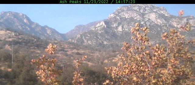
Elevation: 1400 ft
|
Kaweah River Webcam, Pumpkin Hollow on SR 198, looking north
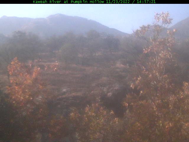
Elevation: 1200 ft
|
Kaweah Kam, Three Rivers on SR 198, looking north

Elevation: 850 ft
|
Silver City Webcam, Sequoia NP east of SR 198 on Mineral King Rd

Elevation: 6900 ft
|
Mineral King Webcam, Sequoia NP east of SR 198, looking north

Elevation: 7830 ft
|
Mineral King, Faculty Flat Webcam, Sequoia NP east of SR 198

Elevation: 7440 ft
|
Sierra Wildland Fire Cam, Springville on SR 190, looking east

Elevation: 1050 ft
|
Sierra Wildland Fire Cam, Springville on SR 190, looking SW

Elevation: 1050 ft
|
Sierra Wildland Fire Cam, Jordan Peak, north of Camp Nelson on SR 190, looking north

Elevation: 9120 ft
|
Sierra Wildland Fire Cam, Jordan Peak, north of Camp Nelson on SR 190, looking east

Elevation: 9120 ft
|
Sierra Wildland Fire Cam, Jordan Peak, north of Camp Nelson on SR 190, looking SE

Elevation: 9120 ft
|
Sierra Wildland Fire Cam, Jordan Peak, north of Camp Nelson on SR 190, looking west

Elevation: 9120 ft
|
Sierra Wildland Fire Cam, Jordan Peak, north of Camp Nelson on SR 190, looking west

Elevation: 9120 ft
|
Sierra Wildland Fire Cam, Jordan Peak, north of Camp Nelson on SR 190, looking NW

Elevation: 9120 ft
|
Owens Lake DustCam, Dolomite on SR 136, looking south

Elevation: 3800 ? ft
|
Owens Lake DustCam, Dolomite on SR 136, looking SW

Elevation: 3800 ? ft
|
Owens Lake DustCam, Keeler on SR 136, looking SW

Elevation: 3800 ? ft
|
Owens Lake DustCam, Microwave, looking NW

Elevation: 3800 ? ft
|
Owens Lake DustCam, Cartago on US 395, looking east

Elevation: 3800 ? ft
|
Owens Lake DustCam, Cartago on US 395, looking NE

Elevation: 3800 ? ft
|
Death Valley Webcam, SR 190 at Furnace Creek, looking east

Elevation: -150 ft
|
Southernmost Sierra Nevada: SR 155, SR 178, SR 58 Hwy Corridor ..
|
Sierra Wildland Fire Cam, Sherman Peak west of US 395, looking NW

Elevation: 9920 ft
|
Sierra Wildland Fire Cam, Sherman Peak west of US 395, looking north

Elevation: 9920 ft
|
Sierra Wildland Fire Cam, Sherman Peak west of US 395, looking NE

Elevation: 9920 ft
|
Sierra Wildland Fire Cam, Sherman Peak west of US 395, looking east

Elevation: 9920 ft
|
Sierra Wildland Fire Cam, Sherman Peak west of US 395, looking SE

Elevation: 9920 ft
|
Sierra Wildland Fire Cam, Sherman Peak west of US 395, looking SW

Elevation: 9920 ft
|
Sierra Wildland Fire Cam, Bald Mtn Lookout west of US 395, looking NW

Elevation: 9380 ft
|
Sierra Wildland Fire Cam, Bald Mtn Lookout west of US 395, looking NE

Elevation: 9380 ft
|
Sierra Wildland Fire Cam, Bald Mtn Lookout west of US 395, looking east

Elevation: 9380 ft
|
Sierra Wildland Fire Cam, Bald Mtn Lookout west of US 395, looking south

Elevation: 9380 ft
|
Sierra Wildland Fire Cam, Bald Mtn Lookout west of US 395, looking west

Elevation: 9380 ft
|
Sierra Wildland Fire Cam, Tobias Peak north of SR 155, looking SE

Elevation: 8300 ft
|
Sierra Wildland Fire Cam, Tobias Peak north of SR 155, looking south

Elevation: 8300 ft
|
Sierra Wildland Fire Cam, Tobias Peak north of SR 155, looking SW

Elevation: 8300 ft
|
Sierra Wildland Fire Cam, Tobias Peak north of SR 155, looking NW

Elevation: 8300 ft
|
Sierra Wildland Fire Cam, Tobias Peak north of SR 155, looking NE

Elevation: 8300 ft
|
Alta Sierra at Shirley Meadows on SR 155, Ridge Cam

Elevation: 6700 ft
|
Alta Sierra at Shirley Meadows on SR 155, Lake View Cam

Elevation: 6700 ft
|
Alta Sierra at Shirley Meadows on SR 155, WebCam

Elevation: 6700 ft
|
Alta Sierra at Shirley Meadows on SR 155, WebCam

Elevation: 6700 ft
|
Alta Sierra at Shirley Meadows on SR 155, WebCam

Elevation: 6700 ft
|
Alta Sierra at Shirley Meadows on SR 155, WebCam

Elevation: 6700 ft
|
Sierra Wildland Fire Cam, Breckenridge Mtn Lookout south of SR 178, looking NW

Elevation: 7550 ft
|
Sierra Wildland Fire Cam, Breckenridge Mtn Lookout south of SR 178, looking NE

Elevation: 7550 ft
|
Sierra Wildland Fire Cam, Breckenridge Mtn Lookout south of SR 178, looking NE

Elevation: 7550 ft
|
Sierra Wildland Fire Cam, Breckenridge Mtn Lookout south of SR 178, looking ENE

Elevation: 7550 ft
|
Sierra Wildland Fire Cam, Breckenridge Mtn Lookout south of SR 178, looking east

Elevation: 7550 ft
|
Sierra Wildland Fire Cam, Breckenridge Mtn Lookout south of SR 178, looking south

Elevation: 7550 ft
|
|
| Map of Camera Sites: (each corridor is enclosed in a gray box) |
NOTE: Webcams in the northern half of Northern California (including the northernmost part of the Sierra Nevada)
are shown on the adjacent Northernmost California Mountain WebCams page.
|
 |
| Northern Sierra Nevada: I-80 Hwy Corridor |
![]() |
![]() |
![]() |
![]() |
![]() |
![]() |
|
|
|
|
|
|
|
|
|
|
|
![]() |
![]() |
|
|
|
|
|
|
|
|
|
|
29 |
| Northern Lake Tahoe Region: SR 267, SR 28, SR 431 Hwy Corridor |
|
|
|
|
|
|
|
|
|
|
|
|
|
|
|
|
|
|
|
|
|
|
|
|
|
25 |
| Western Lake Tahoe Region: SR 89 and SR 28 Hwy Corridor |
|
|
|
|
|
|
|
|
|
|
|
|
|
|
|
|
|
|
|
|
|
|
|
|
|
|
|
27 |
| Southern and Eastern Lake Tahoe Region: US 50, SR 88, US 395 Hwy Corridor |
|
|
|
|
|
|
|
|
|
|
|
|
|
|
![]() |
|
|
|
|
|
![]() |
|
|
|
|
|
|
|
|
29 |
| Central Sierra Nevada: SR 4, SR 108, SR 120, SR 140, SR 168 Hwy Corridor |
|
|
|
|
|
|
|
| | |