Sea to Sky Hwy 99 Corridor: Whistler and Blackcomb Alpine ..
|
Whistler Peak, looking SW at Black Tusk *

Elevation: 2180 m / 7150 ft
|
Whistler Peak, looking west *

Elevation: 2180 m / 7150 ft
|
Whistler Peak, looking NW *

Elevation: 2180 m / 7150 ft
|
Whistler Peak, looking WNW at Mt Cayley and Powder Mtn *

Elevation: 2180 m / 7150 ft
|
Whistler Peak, looking north *

Elevation: 2180 m / 7150 ft
|
Whistler Peak, looking NNE *

Elevation: 2180 m / 7150 ft
|
Whistler Peak, looking NE *

Elevation: 2180 m / 7150 ft
|
Whistler Peak, looking ENE *

Elevation: 2180 m / 7150 ft
|
Whistler Mtn Roundhouse, looking SSW *

Elevation: 1850 m / 6070 ft
|
Whistler Mtn Roundhouse, looking SW *

Elevation: 1850 m / 6070 ft
|
Whistler Mtn Roundhouse, looking WSW *

Elevation: 1850 m / 6070 ft
|
Whistler Mtn Roundhouse, looking west *

Elevation: 1850 m / 6070 ft
|
Whistler Mtn Roundhouse, looking WNW *

Elevation: 1850 m / 6070 ft
|
Whistler Mtn Roundhouse, looking NW *

Elevation: 1850 m / 6070 ft
|
Whistler Mtn Roundhouse, looking north *

Elevation: 1850 m / 6070 ft
|
Whistler Mtn Roundhouse, looking NE *

Elevation: 1850 m / 6070 ft
|
Whistler Mtn Roundhouse, looking east *

Elevation: 1850 m / 6070 ft
|
Blackcomb Mtn Rendezvous, looking SE *

Elevation: 1860 m / 6100 ft
|
Blackcomb Mtn Rendezvous, looking south *

Elevation: 1860 m / 6100 ft
|
Blackcomb Mtn Rendezvous, looking SSW *

Elevation: 1860 m / 6100 ft
|
Blackcomb Mtn Rendezvous, looking SW *

Elevation: 1860 m / 6100 ft
|
Blackcomb Mtn Rendezvous, looking WSW *

Elevation: 1860 m / 6100 ft
|
Blackcomb Mtn Rendezvous, looking west *

Elevation: 1860 m / 6100 ft
|
Blackcomb Mtn Rendezvous, looking WNW *

Elevation: 1860 m / 6100 ft
|
Blackcomb Mtn Rendezvous, looking NW *

Elevation: 1860 m / 6100 ft
|
Blackcomb Mtn Rendezvous, looking NW *

Elevation: 1860 m / 6100 ft
|
Blackcomb Mtn Rendezvous, looking NNW *

Elevation: 1860 m / 6100 ft
|
Blackcomb Mtn Rendezvous, looking north *

Elevation: 1860 m / 6100 ft
|
Sea to Sky Hwy 99 Corridor: Lillooet to Pemberton to Whistler Area ..
|
Hwy 99, near Fountain Slide, about 15km north of Lillooet, looking northeast

Elevation: 400 m / 1300 ft
|
Hwy 99 (Duffey Lake Rd) at Cayoosh summit, looking east

Elevation: 1280 m / 4200 ft
|
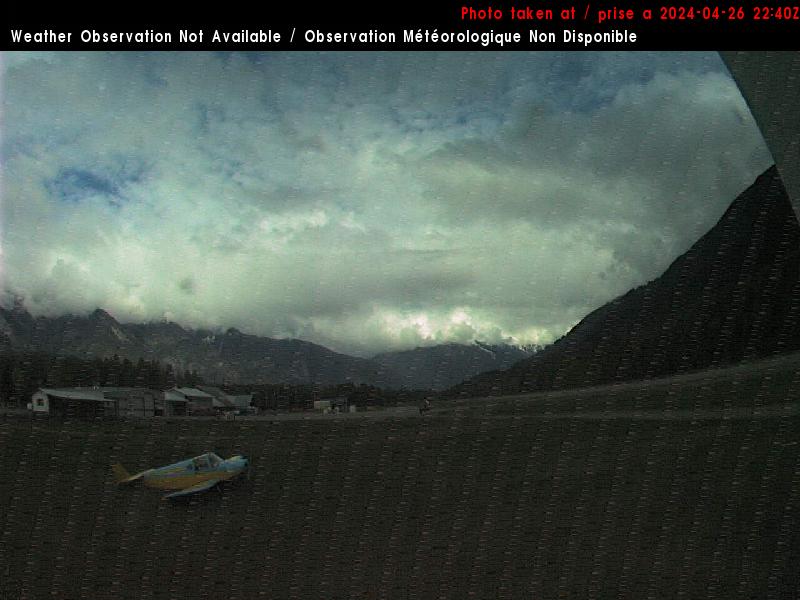
Pemberton Airport WeatherCam, 5 km east of Pemberton on Hwy 99, looking west

Elevation: 205 m / 670 ft
|
Pemberton Airport WeatherCam, 5 km east of Pemberton on Hwy 99, looking east

Elevation: 205 m / 670 ft
|
Rutherford Creek Power Station WeatherCam, 8 km SW of Pemberton on Hwy 99, looking NE

Elevation: 360 m / 1200 ft
|
Rutherford Creek Power Station WeatherCam, 8 km SW of Pemberton on Hwy 99, looking south

Elevation: 360 m / 1200 ft
|
Wedge, Hwy 99, about 13km north of Whistler at Riverside Drive, looking north

Elevation: 600 m / 2000 ft
|
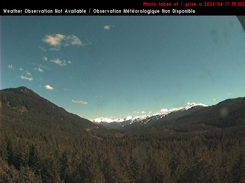
Whistler Municipal Heliport WeatherCam, 10 km NE of Whistler on Hwy 99, looking SE

Elevation: 650 m / 2150 ft
|
Whistler Municipal Heliport WeatherCam, 10 km NE of Whistler on Hwy 99, looking SW

Elevation: 650 m / 2150 ft
|
Whistler Nesters WeatherCam, north of Whistler Village, looking south

Elevation: 670 m / 2200 ft
|
Whistler Nesters WeatherCam, north of Whistler Village, looking NE

Elevation: 670 m / 2200 ft
|
Whistler Nesters WeatherCam, north of Whistler Village, looking down at snow stake

Elevation: 670 m / 2200 ft
|
Whistler Village, looking east *

Elevation: 670 m / 2200 ft
|
Whistler Village, looking SE *

Elevation: 670 m / 2200 ft
|
Whistler Village, looking SE *

Elevation: 670 m / 2200 ft
|
Whistler Village, looking south *

Elevation: 670 m / 2200 ft
|
Horstman Glacier, looking SE *

Elevation: 2140 m / 7000 ft
|
Horstman Glacier, looking south *

Elevation: 2140 m / 7000 ft
|
Horstman Glacier, looking SW *

Elevation: 2140 m / 7000 ft
|
Horstman Glacier, looking west *

Elevation: 2140 m / 7000 ft
|
Horstman Glacier, looking west *

Elevation: 2140 m / 7000 ft
|
Horstman Glacier, looking NW *

Elevation: 2140 m / 7000 ft
|
Horstman Glacier, looking north *

Elevation: 2140 m / 7000 ft
|
Horstman Glacier, looking NE *

Elevation: 2140 m / 7000 ft
|
Whistler Mid-Station WeatherCam, looking SW

Elevation: 1300 m / 4300 ft
|
Whistler Mid-Station WeatherCam, looking north

Elevation: 1300 m / 4300 ft
|
Whistler Creekside, looking west towards Sproatt Mtn *

Elevation: 650 m / 2150 ft
|
Function Junction, Hwy 99 at Cheakamus Lake Rd, 5 km south of Whistler, looking north

Elevation: 600 m / 2000 ft
|
Sea to Sky Hwy 99 Corridor: South of Whistler to Squamish Area to West Vancouver ..
|
Whistler MSC Radar Site WeatherCam, 10 km SW of Whistler on Hwy 99, looking north

Elevation: 520 m / 1700 ft
|
Whistler MSC Radar Site WeatherCam, 10 km SW of Whistler on Hwy 99, looking NE

Elevation: 520 m / 1700 ft
|
Whistler MSC Radar Site WeatherCam, 10 km SW of Whistler on Hwy 99, looking south

Elevation: 520 m / 1700 ft
|
Whistler Olympic Park Webcam, in Callaghan Valley NW of Hwy 99, looking north *

Elevation: 850 m / 2800 ft
|
Whistler Olympic Park Webcam, in Callaghan Valley NW of Hwy 99, looking south *

Elevation: 850 m / 2800 ft
|
Garibaldi Tower WeatherCam, 10 miles NW of Mount Garibaldi near Hwy 99, looking NE

Elevation: 660 ? m / 2200 ? ft
|
Garibaldi Tower WeatherCam, 10 miles NW of Mount Garibaldi near Hwy 99, looking south

Elevation: 660 ? m / 2200 ? ft
|
Hwy 99, south of Garibaldi (abandoned townsite), looking south

Elevation: 310 m / 1000 ft
|
District of Squamish, Cloudburst Mtn WebCam, looking north? *

Elevation: 1500 ? m / 5000 ? ft
|
Cheakamus Canyon Tower WeatherCam, 8 miles west of Mount Garibaldi near Hwy 99, looking north

Elevation: 600 ? m / 2000 ? ft
|
Cheakamus Canyon Tower WeatherCam, 8 miles west of Mount Garibaldi near Hwy 99, looking SE

Elevation: 600 ? m / 2000 ? ft
|
BTSC Snow Cam, on Brohm Ridge, 5 km WSW of summit of Mt Garibaldi

Elevation: 1500 m / 4900 ft
|
Alice Lake, Hwy 99 at Squamish Valley Rd, about 10km north of Squamish, looking north

Elevation: 140 m / 460 ft
|
Squamish Airport WeatherCam (Nav Canada),
north of Brackendale, looking north

Elevation: 60 m / 200 ft
|
Squamish Airport WeatherCam (Nav Canada),
north of Brackendale, looking south

Elevation: 60 m / 200 ft
|
Squamish Airport WeatherCam (WeatherOffice), north of Brackendale, looking NW

Elevation: 50 m / 170 ft
|
Squamish Airport WeatherCam (WeatherOffice), north of Brackendale, looking south

Elevation: 50 m / 170 ft
|
District of Squamish, Garibaldi WebCam, looking NE at Mt Garibaldi *

Elevation: 300 ? m / 1000 ? ft
|
District of Squamish WebCam, looking SW at Squamish and Howe Sound *

|