| SR 20 and SR 530 Corridors, West of the Cascade Crest |
|||||||||||||||||||||||||||||||||||||||
Burlington, Rio Vista Ave, MP 59.8 on SR 20  Elevation: 50 ft |
Burlington, Avon Ave, MP 60.3 on SR 20  Elevation: 50 ft |
Sedro-Woolley, Hammer Heritage Square Clock Tower, on Metcalf St south of SR 20 at MP 65 Elevation: 100 ft |
Birdsview Weather Cam, looking south, at MP 82 on SR 20, 6 miles W of Concrete Elevation: 150 ft |
Concrete Airport, MP 88 on SR 20, looking west  Elevation: 280 ft |
Concrete Airport, MP 88 on SR 20, looking north  Elevation: 280 ft |
Concrete Airport, MP 88 on SR 20, looking east  Elevation: 280 ft |
Concrete Airport, MP 88 on SR 20, looking south  Elevation: 280 ft |
||||||||||||||||||||||||||||||||
| Lake Cavanaugh Cam, looking north, 5 miles NW of Oso off SR 530 at MP 33 Elevation: 1020 ft |
Boulder River Cam, looking north at Mt Higgins, at MP 40 on SR 530, 9 miles W of Darrington Elevation: 350 ft |
Whitehorse Mtn, looking SW from Darrington at MP 49 on SR 530, 19 miles south of SR 20 at MP 97  Elevation: 550 ft |
North Cascades NP, Air Quality Webcam, Newhalem, MP 120 on SR 20  Elevation: 560 ft |
Seattle City Light, Newhalem, MP 120 on SR 20 Elevation: 500 ft |
Seattle City Light, Diablo Helistop, MP 127 on SR 20 Elevation: 900 ft |
Seattle City Light, Diablo Dam, MP 128 on SR 20 Elevation: 1250 ft |
Seattle City Light, Ross Dam & Jack Mtn, MP 134 on SR 20 Elevation: 1650 ft |
| SR 20 Corridor, East of the Cascade Crest |
|||||||||||||||||||||||||||||||||||||||
| Mazama Ranch House in Mazama, just off SR 20 at Lost River Rd, MP 180  Elevation: 2100 ft |
Edelweiss Bluff Webcam, looking west, from Homestead Rd in Mazama off SR 20 at MP 184 Elevation: 2200 ft |
View looking SW of Lucky Jim Bluff from Homestead Rd in Mazama off SR 20 at MP 184  Elevation: 2300 ft |
View looking SW into the valley from Homestead Rd in Mazama off SR 20 at MP 184  Elevation: 2300 ft |
Upper Highland Meadow, with 6 ft snow stake, on Highland Rd in Mazama off SR 20 at MP 184 Elevation: 2500 ft |
Upper Highland Meadow, view of barn, on Highland Rd in Mazama off SR 20 at MP 184 Elevation: 2500 ft |
North Gardner Mtn, telephoto view from 8 miles ENE on Highland Rd in Mazama off SR 20 at MP 184 Elevation: 2500 ft |
PeasantPharm WebCam, west of Winthrop, south of MP 189 on SR 20 Elevation: 1900 ft |
||||||||||||||||||||||||||||||||
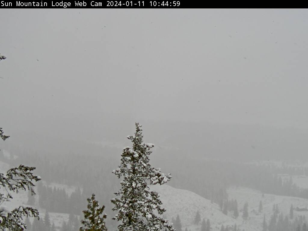
| Sun Mountain Lodge, west of Winthrop, south of MP 190 on SR 20  Elevation: 2800 ft |
Rader Rd, Winthrop, MP 192.5 on SR 20  Elevation: 1760 ft |
Sheri's Sweet Shoppe, Winthrop, MP 193 on SR 20  Elevation: 1760 ft |
Eastside Chewuch Rd, 4 miles north of Winthrop on SR 20 at MP 193, looking west Elevation: 2000 ft |
View looking west from Patterson Mtn, SW of Winhtrop off SR 20 at MP 193 Elevation: 3500 ft |
Winthrop on SR 20, looking NE from Patterson Mtn, SW of Winhtrop off SR 20 at MP 193 Elevation: 3500 ft |
Methow Valley Airport, looking SE from Patterson Mtn, SW of Winhtrop off SR 20 at MP 193 Elevation: 3500 ft |
McClure Mtn and Twisp, looking SE from Patterson Mtn, SW of Winhtrop off SR 20 at MP 193 Elevation: 3500 ft |


