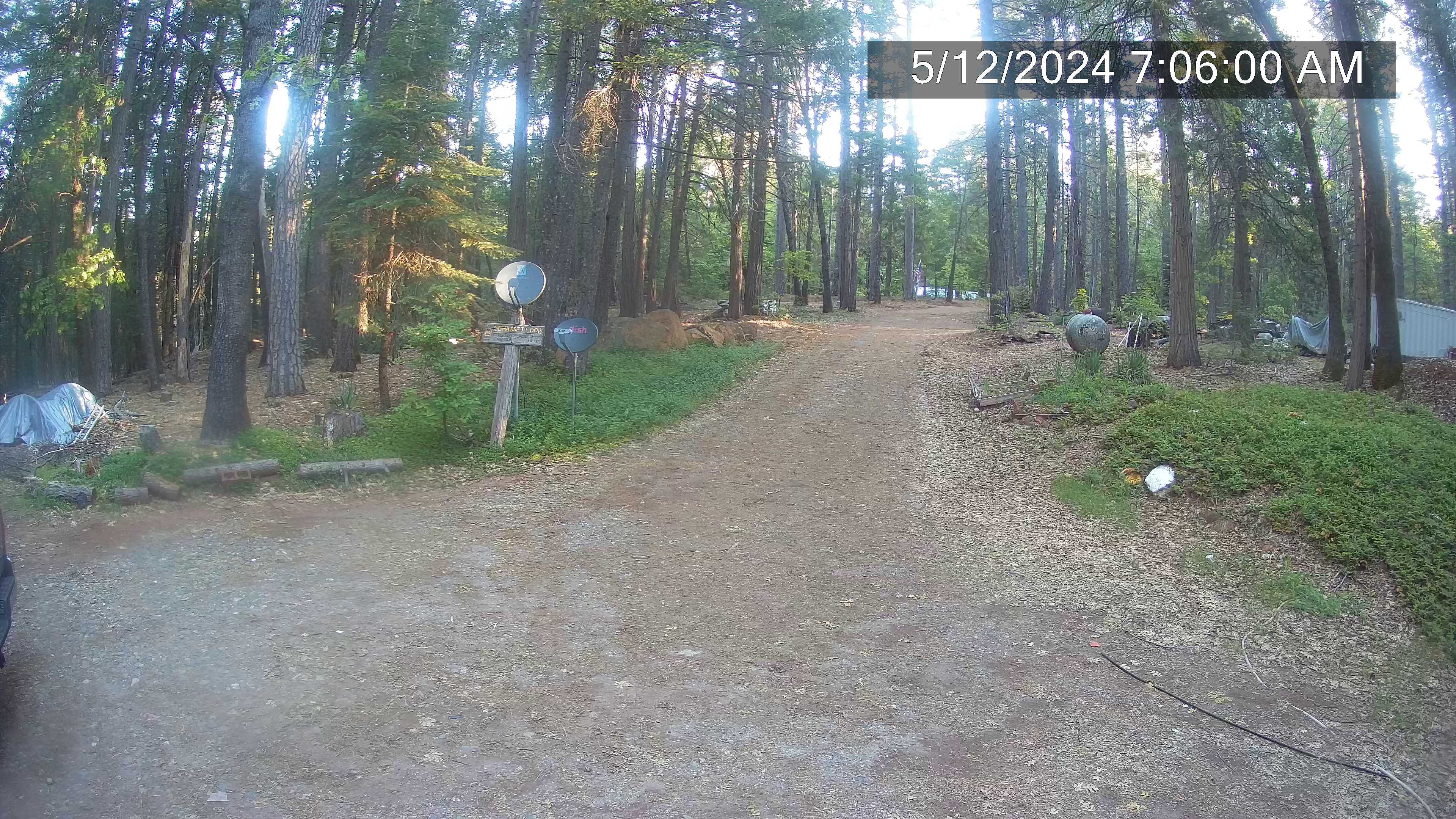
Alta Sierra Estates, south of Grass Valley on SR 49, looking east

Elevation: 2100 ft
|
Nevada County Weather Cam, SW of Nevada City,
1 mile NW of SR 49 @ MP 183, looking NE

Elevation: 2810 ft
|
Nevada City Webcam, on SR 49 @ MP 186, looking north

Elevation: 2600 ft
|
Alleghany Weather Cam, 6 miles south of SR 49,
17 miles NE of Nevada City

Elevation: 4400 ft
|
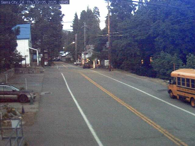
Sierra City Webcam, on SR 49, looking east

Elevation: 4200 ft
|
Bassett's Station Webcam, on SR 49,
5 miles east of Sierra City, looking SW

Elevation: 5400 ft
|
| Show telemetry | Hide telemetry |
|
| Page History: |
|
| January 2016 |
Original version with 22 camera views in 4 rows,
split off from the northern extension of the Donner Summit WebCams page,
with some cameras from the long-unmaintained Sierra Nevada Mountain WebCams page
Includes the option to show the last 24 hours of data from several regional
California Cooperative Snow Surveys hourly telemetry sites below the webcams
Includes a script for the Pilot Peak site to convert the half-hourly "event" data into normal-looking hourly data columns, which was also used to convert other sites'
precip "event" data into an hourly data column (it's unclear why the CDEC website can't simply copy the "event" data into the hourly data,
it does so for some sites already but not others)
Later wrote a new external script to grab data from CDEC (such as the
California Cooperative Snow Surveys telemetry sites), which downloads the data and formats it to match the style of the SNOTEL data, the script makes maintenance of these
pages much easier by moving all CDEC telemetry code into a single location instead of separate code on each individual California Mountain WebCams page
Later expanded to 24 camera views in 5 rows, adding the KRCR-TV Chico SkyCam and the Butte County Public Works Snow Cam, and
fixed the Bucks Lake webcam image which had moved to a new variable URL
|
| February 2016 |
Major internal PHP code cleanup, updating and/or deleting legacy code left over from very long ago, from the
Mount Rainier Paradise WebCams webpage (March 2009) on which all of these "Webcams + Telemetry Pages" are based,
and even from the original Washington Mountain WebCams webpage (December 2004) on which the Rainier page was based
Added 9 more regional RAWS hourly telemetry sites
which have precip, wind, solar, and other sensors (but not snowdepth), data from 7 of these sites are available on the CDEC website, the other 2 sites only via
MesoWest
Also added 3 other CDEC telemetry sites which have precip and other sensors (but not snowdepth)
|
| March 2016 |
Added the telemetry site atop the summit of Sutter Buttes volcano in the Central Valley,
with data available from MesoWest
Fixed all Weather Underground camera URLs, which now apparently need "?time()" appended in order to update properly
|
| December 2016 | Updated the URL for the Western Pacific Railroad Museum cam which is back online after a lengthy outage |
|
|
100
 |
200
 |
300
 |
400
 |
500
 |
600
 |
700
 |
800
 |
900
 |
1000
 |
1100
 |
1200
 |
1300
 |
1400
 |
1500
 |
1600
 |
1700
 |
1800
 |
Amar Andalkar Seattle, WA, USA
<About the Author / Contact Me>
All material on this website is ©1997-2025 by Amar Andalkar unless otherwise noted.
Last modified Sunday, May 23, 2021
|
|
| 100 |
 |
| 200 |
 |
| 300 |
 |
| 400 |
 |
| 500 |
 |
| 600 |
 |
| 700 |
 |
| 800 |
 |
| 900 |
 |
| 1000 |
 |
| 1100 |
 |
| 1200 |
 |
| 1300 |
 |
| 1400 |
 |
| 1500 |
 |
| 1600 |
 |
| 1700 |
 |
| 1800 |
 |
| 1900 |
 |
| 2000 |
 |
|


