Sub-Antarctic Islands and Research Ships in the Southern Ocean ..
|
Macquarie Island Station Webcam, Australian Antarctic Division, looking ENE
![]()
Location: 54.50° S, 158.95° E
Elevation: 100 ? m / 300 ? ft
|
|
Bird Island Research Station, looking SW at Jordan Cove on Bird Island, near the northwestern tip of South Georgia
![]()
Location: 54.00° S, 38.05° W
Elevation: 10 ? m / 30 ? ft
|
South Georgia Webcam, Larsen House at King Edward Point, looking SE across Cumberland Bay East to Greene Peninsula

Location: 54.28° S, 36.50° W
Elevation: 20 ? m / 60 ? ft
|
South Georgia Webcam2, on a weather mast at King Edward Point, looking across the Cove to Grytviken

Location: 54.28° S, 36.50° W
Elevation: 20 ? m / 60 ? ft
|
|
RRS James Clark Ross Research Ship Webcam, British Antarctic Survey, looking forward

Location: see map on linked page
Elevation: 20 ? m / 60 ? ft
|
|
RRS Ernest Shackleton Research Ship Webcam, British Antarctic Survey, looking forward
![]()
Location: somewhere on the ocean
Elevation: 20 ? m / 60 ? ft
|
Antarctic Peninsula and Nearby Islands ..
|
Chilean Airport (SCRM) on King George Island, looking SE

Location: 62.19° S, 58.99° W
Elevation: 50 m / 160 ft
|
Chilean Airport (SCRM) on King George Island, looking NW

Location: 62.19° S, 58.99° W
Elevation: 50 m / 160 ft
|
|
German Antarctic Receiving Station at O'Higgins Base (Chile), Web Cam 1

Location: 63.32° S, 57.90° W
Elevation: 100 ? m / 300 ? ft
|
German Antarctic Receiving Station at O'Higgins Base (Chile), Web Cam 2

Location: 63.32° S, 57.90° W
Elevation: 100 ? m / 300 ? ft
|
German Antarctic Receiving Station at O'Higgins Base (Chile), Web Cam 3

Location: 63.32° S, 57.90° W
Elevation: 100 ? m / 300 ? ft
|
German Antarctic Receiving Station at O'Higgins Base (Chile), Penguin Cam

Location: 63.32° S, 57.90° W
Elevation: 100 ? m / 300 ? ft
|
German Antarctic Receiving Station at O'Higgins Base (Chile), Penguin Cam

Location: 63.32° S, 57.90° W
Elevation: 100 ? m / 300 ? ft
|
German Antarctic Receiving Station at O'Higgins Base (Chile), Penguin Cam 2

Location: 63.32° S, 57.90° W
Elevation: 100 ? m / 300 ? ft
|
German Antarctic Receiving Station at O'Higgins Base (Chile), Penguin Cam 2

Location: 63.32° S, 57.90° W
Elevation: 100 ? m / 300 ? ft
|
|
Palmer Station (USA) Web Cam, on Anvers Island near the Antarctic Peninsula
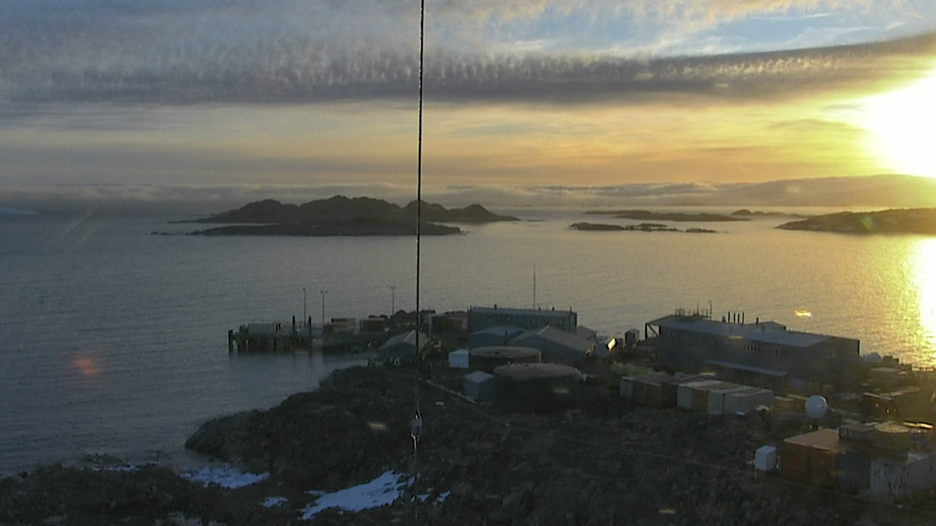
Location: 64.77° S, 64.05° W
Elevation: 30 m / 100 ft
|
Rothera Research Station Webcam, British Antarctic Survey, view of station
![]()
Location: 67.57° S, 68.13° W
Elevation: 100 ? m / 300 ? ft
|
Rothera Research Station Webcam, British Antarctic Survey, view from Operations Tower
![]()
Location: 67.57° S, 68.13° W
Elevation: 100 ? m / 300 ? ft
|
Other Coastal Areas of Antarctica ..
|
McMurdo Station (USA) Web Cam, Crater Hill on Ross Island, sometimes aimed at Mt Erebus
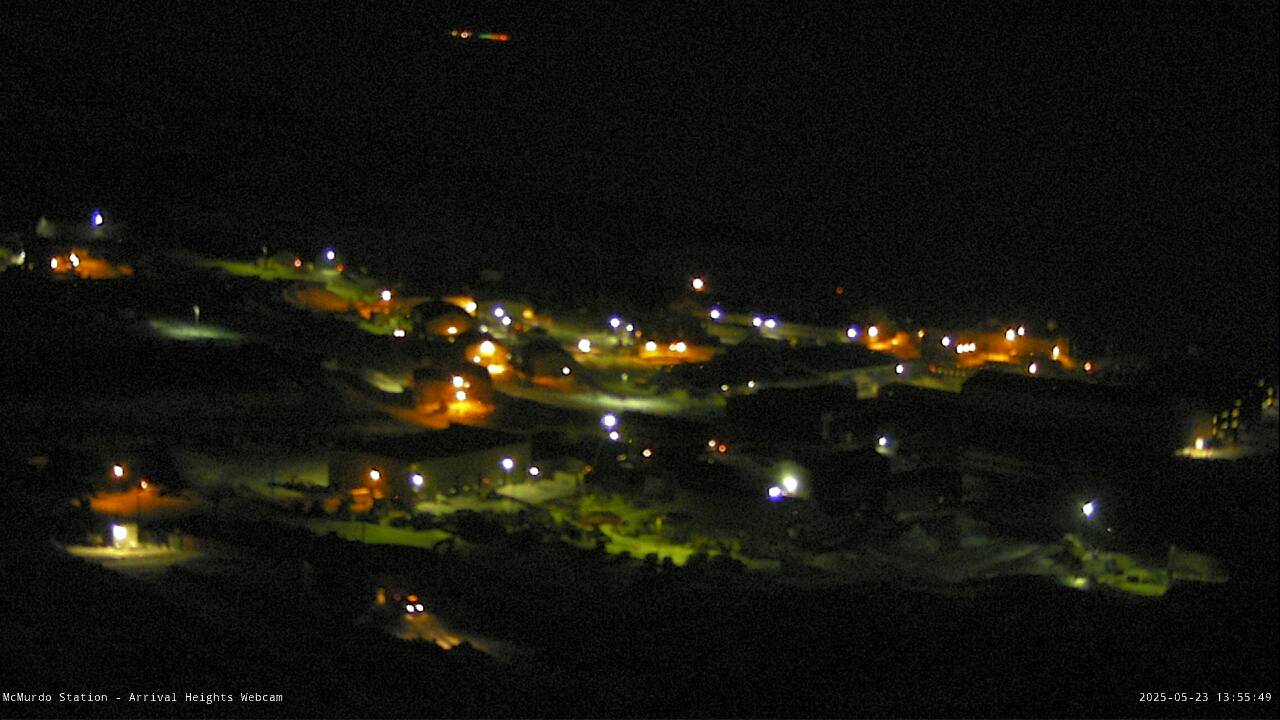
Location: 77.85° S, 166.67° E
Elevation: 300 m / 1000 ft
|
Scott Base (NZ) Web Cam, view of Ross island Windfarm on Crater Hill, looking south at White Island

Location: 77.85° S, 166.76° E
Elevation: 300 m / 1000 ft
|
Scott Base (NZ) Web Cam, with a view of Ross Ice Shelf

Location: 77.85° S, 166.76° E
Elevation: 100 ? m / 300 ? ft
|
Scott Base (NZ) Web Cam, view from Arrival Heights with Mount Erebus partially visible in the distance

Location: 77.85° S, 166.76° E
Elevation: 100 ? m / 300 ? ft
|
Mount Erebus Volcano Observatory, view from Lower Erebus Hut garage roof

Location: 77.51° S, 167.15° E
Elevation: 3400 m / 11200 ft
|
Mount Erebus Volcano Observatory, Crater Cam, infrared / visible imagery of the inner crater

Location: 77.51° S, 167.15° E
Elevation: 3750 m / 12300 ft
|
View of Shackleton's Hut (1908) at Cape Royds on Ross Island

Location: 77.55° S, 166.15° E
Elevation: 50 ? m / 150 ? ft
|
|
Casey Station Webcam, Australian Antarctic Division, looking west
![]()
Location: 66.28° S, 110.52° E
Elevation: 100 ? m / 300 ? ft
|
|
Davis Station Webcam, Australian Antarctic Division, looking ENE
![]()
Location: 68.58° S, 77.97° E
Elevation: 100 ? m / 300 ? ft
|
|
Mawson Station Webcam, Australian Antarctic Division, looking SSE
![]()
Location: 67.60° S, 62.87° E
Elevation: 100 ? m / 300 ? ft
|
Other Coastal Areas of Antarctica ..
|
Syowa Station (Japan), telecommunications room camera [translation link]

Location: 69.00° S, 39.58° E
Elevation: 50 ? m / 150 ? ft
|
Syowa Station (Japan), telecommunications room camera 2 [translation link]

Location: 69.00° S, 39.58° E
Elevation: 50 ? m / 150 ? ft
|
Syowa Station (Japan), Intelsat cabin camera [translation link]

Location: 69.00° S, 39.58° E
Elevation: 50 ? m / 150 ? ft
|
Syowa Station (Japan), building square weather camera [translation link]

Location: 69.00° S, 39.58° E
Elevation: 50 ? m / 150 ? ft
|
Syowa Station (Japan), Administration Building roof camera [translation link]

Location: 69.00° S, 39.58° E
Elevation: 50 ? m / 150 ? ft
|
Syowa Station (Japan), celestial point camera [translation link]

Location: 69.00° S, 39.58° E
Elevation: 50 ? m / 150 ? ft
|
|
Neumayer Station Webcam (Germany), view from the westerly tower to the base

Location: 70.63° S, 8.26° W
Elevation: 100 ? m / 300 ? ft
|
Neumayer Station Webcam (Germany), second view from the westerly tower to the base

Location: 70.63° S, 8.26° W
Elevation: 100 ? m / 300 ? ft
|
Neumayer Station Webcam (Germany), view from the mast of the acoustic observatory (PALAOA) to the north

Location: 70.63° S, 8.26° W
Elevation: 100 ? m / 300 ? ft
|
|
Halley Research Station Webcam, British Antarctic Survey
![]()
Location: 75.58° S, 26.57° W
Elevation: 100 ? m / 300 ? ft
|
Interior of Antarctica ..
|
Patriot Hills Runway Webcam
(now relocated to runway at Union Glacier)

Location: 80.32° S, 81.31° W
(now 79.77° S, 83.27° W)
Elevation: 880 m / 2900 ft
|
Patriot Hills Runway Webcam
(now relocated to runway at Union Glacier)

Location: 80.32° S, 81.31° W
(now 79.77° S, 83.27° W)
Elevation: 880 m / 2900 ft
|
Thiel Mountains Runway Webcam

Location: 85.20° S, 87.88° W
Elevation: 1580 m / 5200 ft
|
Thiel Mountains Runway Webcam

Location: 85.20° S, 87.88° W
Elevation: 1580 m / 5200 ft
|
|
NOAA/ESRL South Pole Live Camera, Amundsen-Scott South Pole Station (USA)
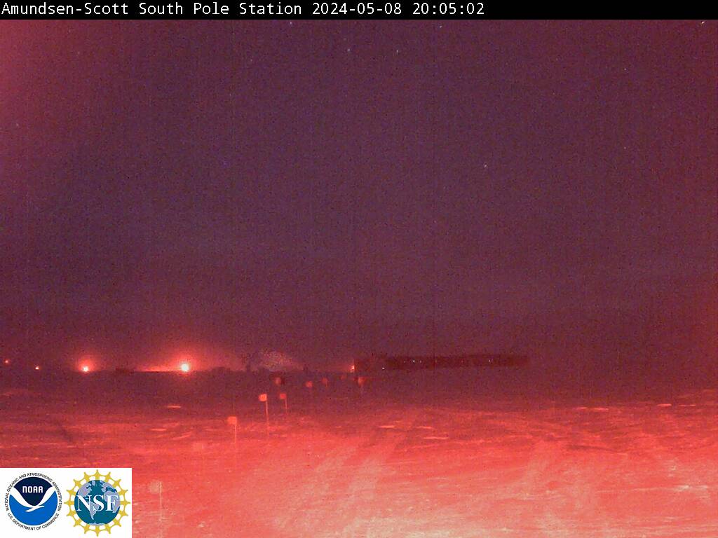
Location: 89.998° S, 139.27° E
Elevation: 2830 m / 9300 ft
|
USAP South Pole Live Camera, Amundsen-Scott South Pole Station (USA)
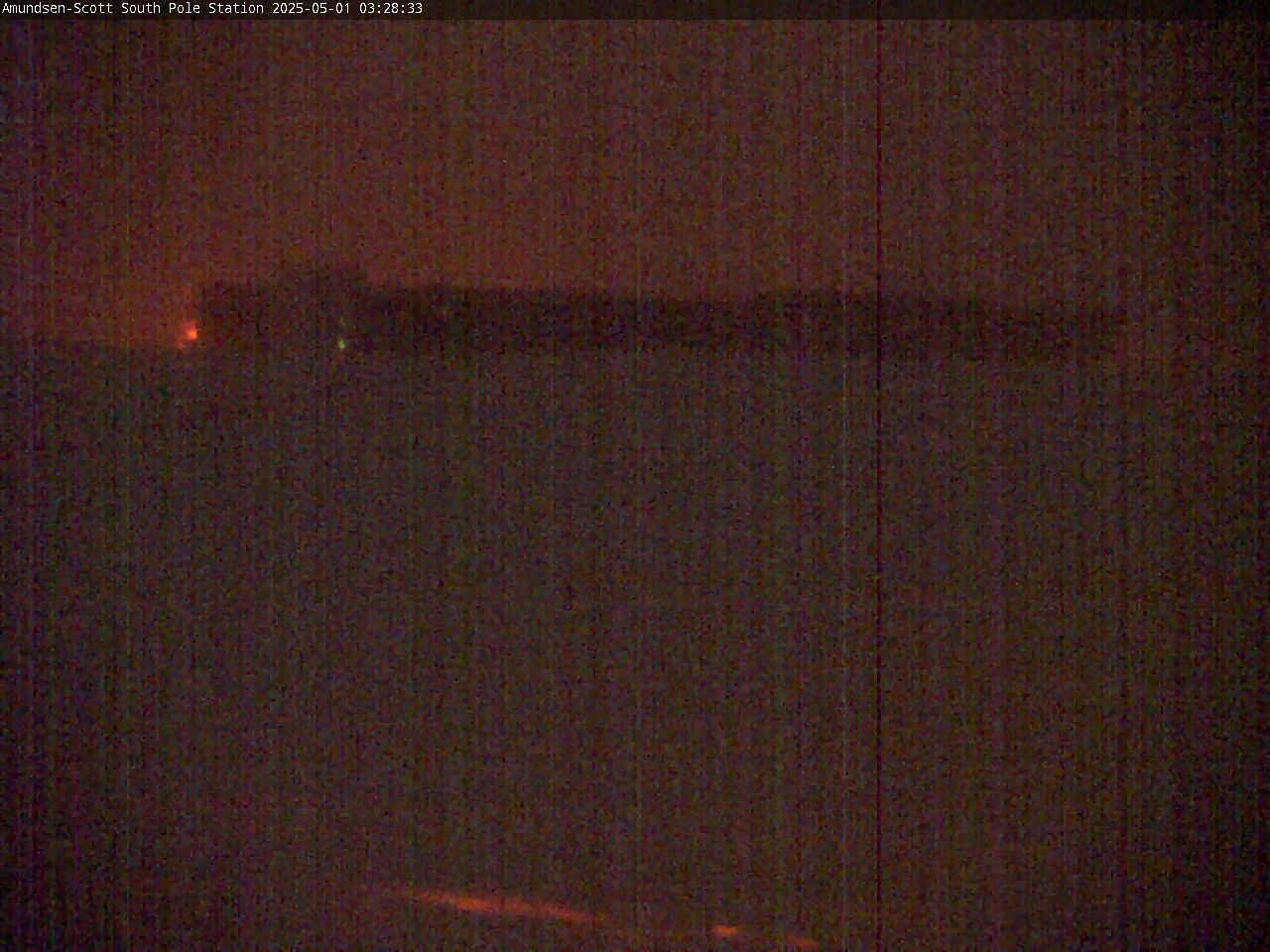
Location: 89.998° S, 139.27° E
Elevation: 2830 m / 9300 ft
|
|
Concordia Station Webcam (France)
(updated weekly, offline since late 2007 ???)

Location: 75.10° S, 123.39° E
Elevation: 3230 m / 10600 ft
|
|
PLATO (PLATeau Observatory) on Dome A, engine module webcam
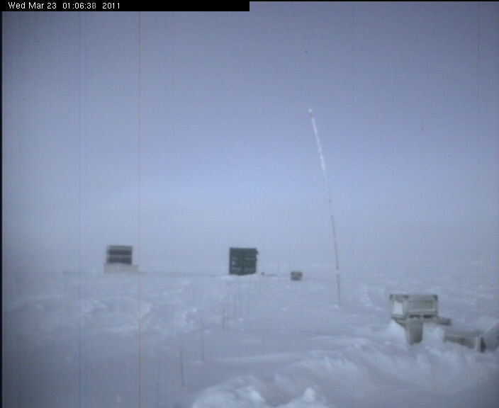
Location: 80.37° S, 77.35° E
Elevation: 4100 m / 13450 ft
|
PLATO (PLATeau Observatory) on Dome A, CSTAR telescopes webcam
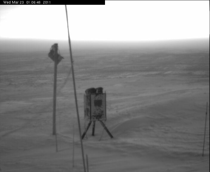
Location: 80.37° S, 77.35° E
Elevation: 4100 m / 13450 ft
|
PLATO (PLATeau Observatory) on Dome A, solar panels webcam
Location: 80.37° S, 77.35° E
Elevation: 4100 m / 13450 ft
|
PLATO (PLATeau Observatory) on Dome A, Gattini camera on the roof webcam
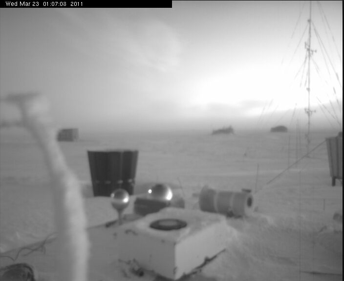
Location: 80.37° S, 77.35° E
Elevation: 4100 m / 13450 ft
|
|
|
|
|
| Page History: |
|
|
|
Page Statistics: |
| December 2008 | Original version with 31 camera views in 4 corridors (rows), named Antarctic WebCams, based on the
Washington Mountain WebCams webpage; includes a PHP script to allow changing the image size
Also includes a regional map with a table of mini camera images (including row counts),
and the option to show pixel rulers along the bottom and right edges of the page
Modified and optimized the page layout for the Antarctic region, which has a much smaller number of webcam images
Added location (latitude / longitude) information
|
Page loaded at 7:48 PM PST on Sunday, November 17, 2024
Total camera images: 49
USA: 11
UK: 8
Germany: 10
Australia: 8
Japan: 6
New Zealand: 3
Chile: 2
France: 1
Approximate page width: 4700 pixels 4648
Approximate page height: 2900 pixels 2900
|
| January 2009 | Minor tweak to code, to circumvent page-load errors which occasionally occur due to
malfunctioning webcam-host websites, especially the USAP website |
| February 2009 | Minor tweak to code, for same reason
Expanded the page name to Antarctica and Antarctic WebCams to improve searchability
|
| November 2009 | Expanded to 34 camera views |
| December 2009 | Expanded to 38 camera views |
| January 2010 | Reduced to 35 camera views, by removing three long-defunct webcams with broken images
(a few other displayed webcams have not updated for months or years, but still provide an image file)
Updated the site navigation bars to include the various other Mountain WebCams pages
Improved options to circumvent page-load errors caused by the malfunctions of the USAP website;
if this webpage fails to load, simply add "&usap=off" to the end of the URL and see if the page then loads
|
| March 2010 | Rearranged some camera views into more logical geographic order |
| September 2010 | Expanded to 39 camera views, fixed several camera links which had changed |
| October 2010 | Expanded to 40 camera views, removing one long-defunct webcam |
| November 2010 | Expanded to 46 camera views, adding Syowa Station webcams, and rearranging into 5 rows
Linked the map to a larger, more legible version; fixed the Halley Station image URL which had changed
|
| December 2010 | Expanded to 47 camera views, adding Palmer Station webcam |
| January 2011 | Expanded to 49 camera views, adding the two newly re-installed Mount Erebus Volcano Observatory webcams |
| February 2014 | Fixed numerous webcam URLs which had changed (all AAD and USAP cams) |
|


