Distant view of Mt Adams from 52 miles ENE at Yakima Air Terminal
(unfortunately as of 2014, now looks SE at Ahtanum Ridge)

Elevation: 1100 ft
|
Selah Creek Rest Area NB on I-82 @ MP 22.4,
62 miles ENE of Mt Adams, looking NE

Elevation: 2000 ft
|
US 12 Interchange on I-82 @ MP 31 in N. Yakima,
55 miles ENE of Mt Adams

Elevation: 1100 ft
|
SR 24 Interchange on I-82 @ MP 35,
55 miles ENE of Mt Adams

Elevation: 1000 ft
|
Union Gap on I-82 @ MP 37, US 97 junction,
54 miles ENE of Mt Adams

Elevation: 950 ft
|
Yakima County Line, US 97 @ MP 34,
45 miles ESE of Mt Adams

Elevation: 1880 ft
|
Satus Pass on US 97 @ MP 27,
43 miles ESE of Mt Adams

Elevation: 3100 ft
|
Columbia Gorge, Washington Side, SR 14 Corridor
|
Cape Horn on SR 14 @ MP 24,
56 miles SW of Mt Adams

Elevation: 800 ft
|
Bridge of the Gods on SR 14 @ MP 41,
42 miles SSW of Mt Adams

Elevation: 200 ft
|
Skamania Lodge, Stevenson on SR 14 @ MP 43,
41 miles SSW of Mt Adams, looking SE

Elevation: 250 ft
|
Stevenson Bob's Beach Cam on SR 14 @ MP 44,
40 miles SSW of Mt Adams, looking SE

Elevation: 100 ft
|
Stevenson City Cam on SR 14 @ MP 44,
40 miles SSW of Mt Adams, looking SE

Elevation: 100 ft
|
Stevenson Kite Cam on SR 14 @ MP 44,
40 miles SSW of Mt Adams, looking SE

Elevation: 100 ft
|
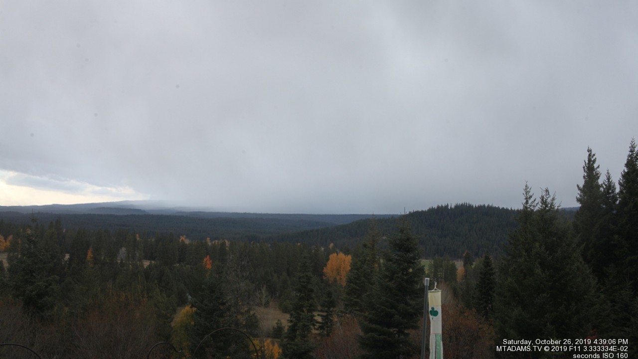
Stabler Cam, off Wind River Hwy, 8 miles NW
of SR 14 @ MP 47, 35 miles SW of Mt Adams

Elevation: 1100 ft
|
Hood River Bridge on SR 14 @ MP 65,
30 miles south of Mt Adams

Elevation: 140 ft
|
Skyline Hospital Gorgecam, White Salmon on SR 141 @ MP 1,
30 miles south of Mt Adams, looking SW

Elevation: 500 ft
|
Snowind Lyleland Cam, just north of SR 14 @ MP 76 in Lyle,
36 miles SSE of Mt Adams, looking west

Elevation: 250 ft
|
SR 14 in Dallesport @ MP 83, US 197 junction,
41 miles SSE of Mt Adams

Elevation: 450 ft
|
The Dalles Airport, south of SR 14 @ MP 82 in Dallesport,
43 miles SSE of Mt Adams, looking WNW

Elevation: 220 ft
|
Maryhill on US 97 @ MP 2, junction with SR 14 @ MP 101,
47 miles SE of Mt Adams

Elevation: 670 ft
|
Columbia Gorge, Oregon Side, I-84 Corridor
|
Located in Troutdale,
63 miles SW of Mt Adams

Elevation: 50 ft
|
Located on I-84 @ MP 31,
53 miles SW of Mt Adams
Elevation: 50 ft
|
NWS Bonneville Dam Cam, just north of I-84 @ MP 40,
44 miles SW of Mt Adams, looking west

Elevation: 100 ft
|
NWS Bonneville Dam Cam, just north of I-84 @ MP 40,
44 miles SW of Mt Adams, looking north

Elevation: 100 ft
|
NWS Bonneville Dam Cam, just north of I-84 @ MP 40,
44 miles SW of Mt Adams, looking east

Elevation: 100 ft
|
Located 42 miles SSW of Mt Adams

|
Located 42 miles SSW of Mt Adams

|
West Ridge Drive, south of I-84 @ MP 61, Hood River, OR,
35 miles south of Mt Adams

Elevation: 550 ft
|
| Show telemetry | Hide telemetry |
|
| Page History: |
|
| January 2013 |
Original version with 9 camera views,
designed based on the Mount Rainier Paradise WebCams webpage
Includes the option to show the last 24 hours of
SNOTEL telemetry data from near Mount Adams below the webcams
Includes code to error-check for missing SNOTEL data, and properly handle the new HTTP Status 404 errors from the SNOTEL server, plus other unknown SNOTEL errors
|
| March 2013 |
Forced to write a new external script to grab SNOTEL data,
after the long-existing SNOTEL data programs on the NWCC website were suddenly redirected to a beta-version report generator
The new script is a major improvement, it displays wind and solar data for any SNOTEL sites which have those sensors, mostly installed within the last few years
Added display of the NWS COOP data (daily manual measurements) for Mt Adams Ranger Station in Trout Lake
|
| September 2013 | Fixed three WSDOT camera links which had changed |
| December 2013 |
Expanded to 22 camera views, adding the Mid-Columbia Weather Webcam, Dalles Airport cam, Snowind Lyleland Cam,
one of several Stevenson cams, 3 WSDOT cams (Bridge of the Gods and Dallesport on SR 14, Union Gap on I-82), and 6 ODOT cams along I-84 in the Columbia Gorge
Rearranged several images to form 4 rows, and reduced image sizes from 440-330-220 to 360-270-180 pixels high
|
| July 2014 | Expanded to 23 camera views, adding the excellent new AdamsTV HD webcam view from Trout Lake |
| October 2014 | Expanded to 25 camera views, adding 2 newer ODOT cams along I-84 in the Columbia Gorge |
| December 2014 | Reduced to 24 camera views, removing 1 defunct cam, plus minor fix to 1 URL which had changed |
| February 2015 | Minor fix to formatting of NWS COOP data (daily manual measurements for Trout Lake) which had changed |
| March 2015 |
Expanded to 26 camera views, adding 2 more WSDOT cams along I-82 in Yakima and updating info on Yakima Air Terminal cam
Updated the parser for the NWS COOP data (daily manual measurements for Trout Lake), the webpage formatting had changed substantially
|
| December 2015 |
Expanded to 32 camera views in 5 rows, adding a distant view of Adams and Rainier from near Centerville, the WSDOT Cape Horn cam,
the Skamania Lodge cam near Stevenson plus 2 more City of Stevenson cams, and the Skyline Hospital cam in White Salmon
Updated the page title to include "Columbia Gorge", which perhaps should have been done in December 2013 when numerous cams along SR 14 and I-84 were first added
|
| January 2016 |
Expanded to 41 camera views in 6 rows, adding the 3 NWS Bonneville Dam cams, ODOT I-84 in Troutdale, WSDOT I-82 Selah Creek,
Stevenson Bob's Beach, Stabler, Hood River West Ridge Drive, and Mosier WiNet cams
Reduced image sizes slightly from 360-270-180 to 320-240-160 pixels high for large-medium-small options
Wrote a new external script to grab data from MesoWest (such as the data from
the RAWS telemetry sites), which downloads the data as a CSV file and formats it to match the style of the SNOTEL data
Since there are only a few snow telemetry sites anywhere near Mount Adams, added 4 nearby
RAWS hourly telemetry sites to the south and east
of Mount Adams which have precip, wind, solar, and other sensors (but not snowdepth)
|
| February 2016 |
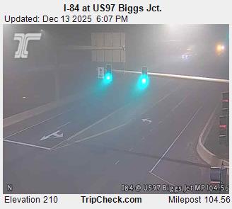
Expanded to 42 camera views, adding the new ODOT cam on I-84 at US97
Major internal PHP code cleanup, updating and/or deleting legacy code left over from very long ago, from the
Mount Rainier Paradise WebCams webpage (March 2009) on which all of these "Webcams + Telemetry Pages" are based,
and even from the original Washington Mountain WebCams webpage (December 2004) on which the Rainier page was based
Added descriptive dividers between major subregions of the webcam images and of the telemetry sites, to clarify the layout of this fairly large and complex page
Added 2 more RAWS hourly telemetry sites in the Columbia Gorge,
and modified the page layout code to allow placing the Mt Adams Ranger Station NWS COOP data (daily manual measurements) in proper geographic order instead on only along the right side
Added 4 AgriMet telemetry sites in the Columbia Gorge and near Goldendale, which have data available via
MesoWest and include precip, wind, solar, and other sensors (but not snowdepth)
|
| March 2016 | Fixed all Weather Underground camera URLs, which now apparently need "?time()" appended in order to update properly |
| December 2016 |
Added another RAWS hourly telemetry site on the north flank of Mount Adams,
which was apparently offline and not found when the first several sites were added in January-February
|
| April 2017 | Fixed several WSDOT camera URLs, which had been needlessly changed at some recent time |
| October 2017 |
Expanded to 44 camera views, adding 2 new ODOT cams along US 97 and the Crystal Mountain Chair 6 cam, while removing the long-defunct Stevenson River Cam,
and fixed the Skyline Hospital Gorgecam URL which had changed
|
|
|
100
 |
200
 |
300
|
400
|
500
|
600
|
700
|
800
|
900
|
1000
|
1100
|
1200
|
1300
|
1400
|
1500
|
1600
|
1700
|
1800
|
1900
|
2000
|
2100
|
2200
|
2300
|
2400
|
2500
|
Amar Andalkar Seattle, WA, USA
<About the Author / Contact Me>
All material on this website is ©1997-2024 by Amar Andalkar unless otherwise noted.
Last modified Sunday, May 23, 2021
|
|
| 100 |
 |
| 200 |
 |
| 300 |
|
| 400 |
|
| 500 |
|
| 600 |
|
| 700 |
|
| 800 |
|
| 900 |
|
| 1000 |
|
| 1100 |
|
| 1200 |
|
| 1300 |
|
| 1400 |
|
| 1500 |
|
| 1600 |
|
| 1700 |
|
| 1800 |
|
| 1900 |
|
| 2000 |
|
| 2100 |
|
| 2200 |
|
| 2300 |
|
| 2400 |
|
|